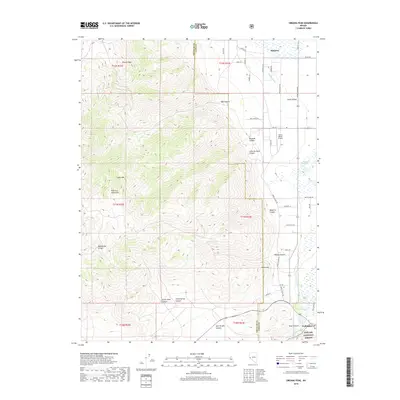
2018 Map of Oreana Peak
USGS Topo · Published 2018About this map
Oreana Peak and the high summits of the Pine Nut Mountains dominate the western horizon of this high-desert landscape on the border of Douglas and Lyon counties. The eastern reaches descend into the fertile agricultural lands of Smith Valley, where the community of Simpson sits near a network of irrigation works including Colony Ditch and the Plymouth Canal. This water system supports the ranching and farming economy that has long defined the region south of the West Walker River.
Find a feature on this map
47 named features on this map. Tap any name to fly to it.
Don’t see what you’re looking for? This feature index may not catch every label — zoom into the map to look around manually.
Map Details
Editions of this 2018 Oreana Peak Map
This is the sole edition of this map. No revisions or reprints were ever made.
Other maps of this area

1889 · Markleeville
USGS Topo · 1:125,000

1891 · Markleeville
USGS Topo · 1:125,000

1891 · Wellington
USGS Topo · 1:125,000

1893 · Markleeville
USGS Topo · 1:125,000

1893 · Wellington
USGS Topo · 1:125,000

1948 · Walker Lake
USGS Topo · 1:250,000

1956 · Desert Creek Peak
USGS Topo · 1:62,500

1956 · Topaz Lake
USGS Topo · 1:62,500

1957 · Walker Lake
USGS Topo · 1:250,000

1957 · Wellington
USGS Topo · 1:62,500