2023 Map of Oregon
USGS Topo · Published 2023About this map
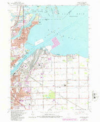
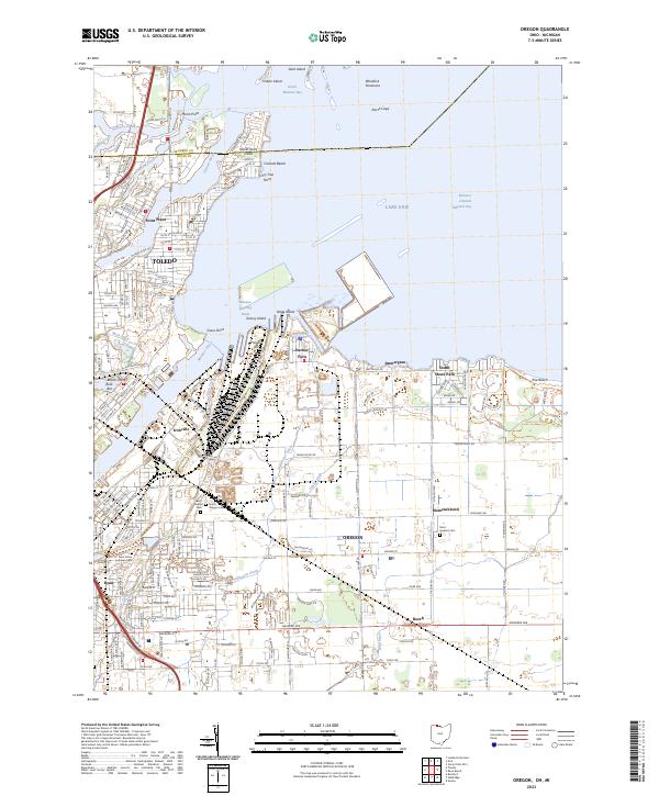
The industrial and maritime landscape of Toledo and Oregon unfolds where the Maumee River meets Maumee Bay. This modern survey details the intricate network of shipping infrastructure and drainage that defines the western edge of Lake Erie, from the deep-water Entrance Channel to the heavy industrial zones of Ironville and Presque Isle. Inland, the map reveals a transition from dense urban street grids in Point Place to the larger agricultural and suburban plots of Momeneetown and Booth. For local historians, the sheet preserves the locations of several community landmarks, including Beth Shalom Cem, Saint Ignatius Cem, and the North Oregon Cem. The complex hydrology of the region is evident in the numerous artificial waterways like Driftmeyer Ditch and Wolf Ditch that manage the low-lying terrain near the Michigan border.
Find a feature on this map
115 named features on this map. Tap any name to fly to it.
Don’t see what you’re looking for? This feature index may not catch every label — zoom into the map to look around manually.
Map Details
Editions of this 2023 Oregon Map
This is the sole edition of this map. No revisions or reprints were ever made.