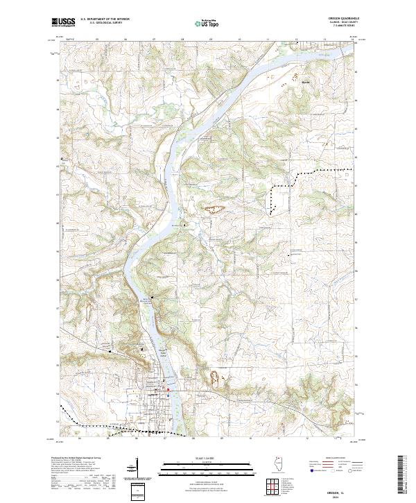
2024 Map of Oregon
USGS Topo · Published 2024About this map
The Rock River carves a deep winding path through Ogle County, anchoring the riverside settlements of Oregon and Byron. This modern survey highlights a landscape where the river remains the primary geographic influence, featuring Margaret Fuller Island and the Better Place Memorial Forest - Rock River. The map is particularly useful for genealogists, as it documents numerous burial sites scattered across the river valley, including Riverview Cem, Riverside Cem, Saint Mary's Cem, and the remote Brooklyn Cem.
Find a feature on this map
104 named features on this map. Tap any name to fly to it.
Don’t see what you’re looking for? This feature index may not catch every label — zoom into the map to look around manually.
Map Details
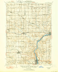
Editions of this 2024 Oregon Map
This is the sole edition of this map. No revisions or reprints were ever made.
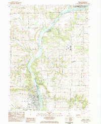
Historical Maps of Rockvale Township Through Time
4 maps found

Featured Locations
- Leaf River Township, IL
- Oregon - Nashua Township, IL
- Byron, IL
- Rockvale Township, IL
- Oregon, Oregon - Nashua Township