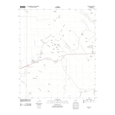
2010 Map of Organ
USGS Topo · Published 2010About this map
Organ sits at the foot of the San Augustin Mountains in this early 21st-century survey, serving as a gateway between the desert floor and the high peaks. The landscape is defined by its deep mining heritage, with dozens of named prospects and workings concentrated on the slopes north of San Augustin Pass. From the Merrimac Mine to the Black Prince Mine, the density of claims like the Iron Mask and Ophelia Claims suggests an era of intensive mineral exploration in the high desert terrain.
Find a feature on this map
90 named features on this map. Tap any name to fly to it.
Don’t see what you’re looking for? This feature index may not catch every label — zoom into the map to look around manually.
Map Details
Editions of this 2010 Organ Map
This is the sole edition of this map. No revisions or reprints were ever made.
Other maps of this area

1891 · Las Cruces
USGS Topo · 1:125,000

1893 · Las Cruces
USGS Topo · 1:125,000

1916 · Tonuco
USGS Topo · 1:125,000

1916 · Point Of Sands
USGS Topo · 1:125,000

1932 · Tonuco
USGS Topo · 1:125,000

1941 · Organ Peak
USGS Topo · 1:62,500

1943 · Parker Lake
USGS Topo · 1:62,500

1943 · Organ Peak
USGS Topo · 1:62,500

1947 · Lake Lucero
USGS Topo · 1:62,500

1948 · Davies Tank
USGS Topo · 1:24,000