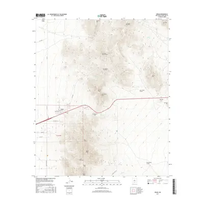
2017 Map of Organ
USGS Topo · Published 2017About this map
The settlement of Organ sits at the base of the dramatic peaks where the San Augustin Mountains and Organ Mountains meet. This terrain is defined by its deep drainages and high elevations, which have historically dictated the passage of people and water. The town itself, accompanied by the Organ Cem, serves as the gateway to the San Augustin Pass, a critical transition point in the landscape. High summits like Baylor Peak and San Augustin Peak overlook a network of canyons including Blair Canyon and Black Prince Canyon. This 2017 survey shows how modern infrastructure like Nasa RD and Space Murals Ln intersects with older geographic markers such as San Augustin Spring and Merrimac Spring, providing a clear view of the area's development around these natural features.
Find a feature on this map
39 named features on this map. Tap any name to fly to it.
Don’t see what you’re looking for? This feature index may not catch every label — zoom into the map to look around manually.
Map Details
Editions of this 2017 Organ Map
This is the sole edition of this map. No revisions or reprints were ever made.
Other maps of this area

1891 · Las Cruces
USGS Topo · 1:125,000

1893 · Las Cruces
USGS Topo · 1:125,000

1916 · Tonuco
USGS Topo · 1:125,000

1916 · Point Of Sands
USGS Topo · 1:125,000

1932 · Tonuco
USGS Topo · 1:125,000

1941 · Organ Peak
USGS Topo · 1:62,500

1943 · Parker Lake
USGS Topo · 1:62,500

1943 · Organ Peak
USGS Topo · 1:62,500

1947 · Lake Lucero
USGS Topo · 1:62,500

1948 · Davies Tank
USGS Topo · 1:24,000