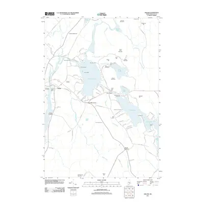
2011 Map of Orland
USGS Topo · Published 2011About this map
Orland and its surrounding Hancock County landscape are defined by a complex network of glacial ponds and granite heights. The Narramissic River flows through the village center, regulated by the Orland Village Dam, while further inland, the Craig Brook National Fish Hatchery sits between Atkins Hill and the waters of Alamoosook Lake. This terrain is deeply marked by local heritage, evidenced by several well-maintained burial grounds including Evergreen Cemetery and Front Ridge Cemetery.
Find a feature on this map
114 named features on this map. Tap any name to fly to it.
Don’t see what you’re looking for? This feature index may not catch every label — zoom into the map to look around manually.
Map Details
Editions of this 2011 Orland Map
This is the sole edition of this map. No revisions or reprints were ever made.
Other maps of this area

1900 · Orland
USGS Topo · 1:62,500

1900 · Bucksport
USGS Topo · 1:62,500

1902 · Bucksport
USGS Topo · 1:62,500

1902 · Castine
USGS Topo · 1:62,500

1904 · Castine
USGS Topo · 1:62,500

1904 · Bluehill
USGS Topo · 1:62,500

1905 · Penobscot Bay
USGS Topo · 1:125,000

1941 · Castine
USGS Topo · 1:62,500

1942 · Orland
USGS Topo · 1:62,500

1942 · Bucksport
USGS Topo · 1:62,500