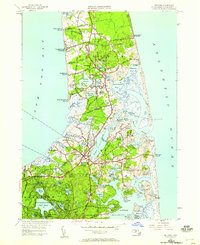
1946 Map of Orleans
USGS Topo · Published 1958About this map
Nauset Beach Lighthouse stands as a sentinel on the Atlantic coast in this mid-century survey, which reveals the intricate shoreline of the lower Cape. The landscape is defined by its relationship with the water, from the bay-side landings like Campground Landing and Kingsbury Beach to the protected waters of Town Cove and Little Pleasant Bay. The settlement patterns of Orleans, East Orleans, and North Eastham are clearly mapped, showing a network of local roads such as Governor Prence Road and Tonset Road that connect coastal neighborhoods to community centers. Local history is deeply embedded in the map's labels, including Evergreen Cemetery and Orleans Church, alongside landmarks like Eldredge Park and the Nauset Coast Guard Station. The southern portion of the sheet transitions into the wooded landscape of Nickerson State Park, punctuated by freshwater features like Cliff Pond and Higgins Pond.
Find a feature on this map
104 named features on this map. Tap any name to fly to it.
Don’t see what you’re looking for? This feature index may not catch every label — zoom into the map to look around manually.
Map Details
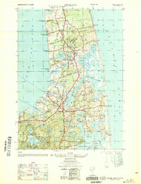
Editions of this 1946 Orleans Map
2 editions found
Other maps of this area

1887 · Wellfleet
USGS Topo · 1:62,500

1887 · Yarmouth
USGS Topo · 1:62,500

1888 · Chatham
USGS Topo · 1:62,500

1889 · Yarmouth
USGS Topo · 1:62,500

1889 · Wellfleet
USGS Topo · 1:62,500

1893 · Chatham
USGS Topo · 1:62,500

1893 · Yarmouth
USGS Topo · 1:62,500

1893 · Wellfleet
USGS Topo · 1:62,500

1917 · Chatham
USGS Topo · 1:62,500

1942 · Cape Cod Bay
USGS Topo · 1:125,000