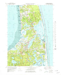
1974 Map of Orleans
USGS Topo · Published 1978About this map
Cape Cod National Seashore dominates the eastern Atlantic frontage of this coastal landscape, protecting a dynamic environment of dunes and beaches stretching from Nauset Beach toward the lighthouse. The mid-1970s development pattern shows the expansion of Orleans and North Eastham amidst a network of glacial kettle ponds like Great Pond and Pilgrim Lake. Commercial and agricultural history is visible in the numerous labeled Cranberry Bog sites and the Depot Pond 10 Windmill near the town center.
Find a feature on this map
117 named features on this map. Tap any name to fly to it.
Don’t see what you’re looking for? This feature index may not catch every label — zoom into the map to look around manually.
Map Details
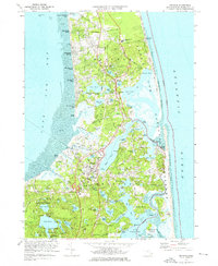
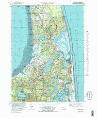
Editions of this 1974 Orleans Map
3 editions found
Other maps of this area

1887 · Wellfleet
USGS Topo · 1:62,500

1887 · Yarmouth
USGS Topo · 1:62,500

1888 · Chatham
USGS Topo · 1:62,500

1889 · Yarmouth
USGS Topo · 1:62,500

1889 · Wellfleet
USGS Topo · 1:62,500

1893 · Chatham
USGS Topo · 1:62,500

1893 · Yarmouth
USGS Topo · 1:62,500

1893 · Wellfleet
USGS Topo · 1:62,500

1917 · Chatham
USGS Topo · 1:62,500

1942 · Cape Cod Bay
USGS Topo · 1:125,000