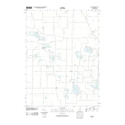
2010 Map of Ormas
USGS Topo · Published 2010About this map
Glacial lakes and small settlements define the rural landscape of Noble County in the early 21st century. The unincorporated community of Washington Center serves as a local hub near Hindman Lake and Little Knapp Lake, while Ormas sits further east along the banks of the Tippecanoe River. This area is characterized by an exceptionally high density of water bodies, including Bear Lake, High Lake, and the connected Big Lake and Loon Lake system to the south.
Find a feature on this map
63 named features on this map. Tap any name to fly to it.
Don’t see what you’re looking for? This feature index may not catch every label — zoom into the map to look around manually.
Map Details
Editions of this 2010 Ormas Map
This is the sole edition of this map. No revisions or reprints were ever made.
Other maps of this area

1950 · Pierceton
USGS Topo · 1:24,000

1950 · North Webster
USGS Topo · 1:24,000

1951 · Wawasee
USGS Topo · 1:24,000

1951 · Ormas
USGS Topo · 1:24,000

1951 · Merriam
USGS Topo · 1:24,000

1953 · Fort Wayne
USGS Topo · 1:250,000

1955 · Columbia City
USGS Topo · 1:24,000

1956 · Fort Wayne
USGS Topo · 1:250,000

1956 · Ligonier
USGS Topo · 1:24,000

1956 · Lorane
USGS Topo · 1:24,000