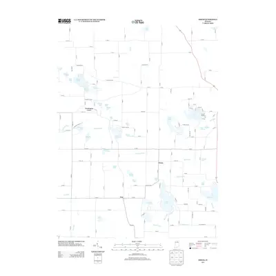
2013 Map of Ormas
USGS Topo · Published 2013About this map
The Tippecanoe River meanders across this landscape of the upper Midwest, connecting a dense network of glacial lakes and marshy lowlands. Small crossroads settlements like Washington Center, Ormas, and Etna serve as the primary human anchors in a region defined by its complex hydrography. The area is characterized by an intricate web of water bodies, ranging from the sizeable Loon Lake and Old Lake to uniquely shaped features such as Horseshoe Lake and Stump Lake. Drainage is facilitated by a system of man-made and natural channels including Smith Ditch, Winters Ditch, and Friskney Ditch, which underscore the historical efforts to manage the high water table for agricultural use. The road network follows a rigid grid, with routes like W Baseline RD and W 750 N cutting through the lake-strewn terrain, providing access to more secluded water bodies such as Knapp Lake and Indian Lake.
Find a feature on this map
81 named features on this map. Tap any name to fly to it.
Don’t see what you’re looking for? This feature index may not catch every label — zoom into the map to look around manually.
Map Details
Editions of this 2013 Ormas Map
This is the sole edition of this map. No revisions or reprints were ever made.
Other maps of this area

1950 · Pierceton
USGS Topo · 1:24,000

1950 · North Webster
USGS Topo · 1:24,000

1951 · Wawasee
USGS Topo · 1:24,000

1951 · Ormas
USGS Topo · 1:24,000

1951 · Merriam
USGS Topo · 1:24,000

1953 · Fort Wayne
USGS Topo · 1:250,000

1955 · Columbia City
USGS Topo · 1:24,000

1956 · Fort Wayne
USGS Topo · 1:250,000

1956 · Ligonier
USGS Topo · 1:24,000

1956 · Lorane
USGS Topo · 1:24,000