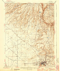
1944 Map of Oroville
USGS Topo · Published 1944About this map
Oroville serves as the focal point for this survey, situated at the base of dramatic volcanic formations including North Table Mountain and South Table Mountain. The map illustrates a landscape shaped by hydraulic mining and water management, visible through the complex network of the Miocene Canal and numerous smaller ditches serving the gold-bearing regions. High above the valley floor, the volcanic mesas rise toward the High Rocks, while historical settlements like Cherokee and Oregon City indicate the era's persistent mining and ranching footprints.
Find a feature on this map
93 named features on this map. Tap any name to fly to it.
Don’t see what you’re looking for? This feature index may not catch every label — zoom into the map to look around manually.
Map Details
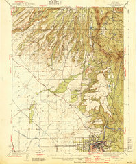
Editions of this 1944 Oroville Map
2 editions found
Other maps of this area

1888 · Marysville
USGS Topo · 1:125,000

1888 · Smartsville
USGS Topo · 1:125,000

1888 · Bidwell Bar
USGS Topo · 1:125,000

1891 · Bidwell Bar
USGS Topo · 1:125,000

1891 · Chico
USGS Topo · 1:125,000

1891 · Marysville
USGS Topo · 1:125,000

1891 · Smartsville
USGS Topo · 1:125,000

1892 · Smartsville
USGS Topo · 1:125,000

1893 · Chico
USGS Topo · 1:125,000

1893 · Bidwell Bar
USGS Topo · 1:125,000