Loading...
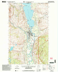
Loading map...2001 Map of Oroville
USGS Topo · Published 2004About this map
Oroville serves as the gateway between the United States and Canada, situated just south of the international border where Osoyoos Lake flows into the Okanogan River. This 2001 revision illustrates the complex irrigation and water management required for the region's agriculture, evidenced by numerous pumping stations, gaging stations, and siphons. The town layout is clearly defined, featuring the Post Office, schools, and the Dorothy Scott Airport.
Find a feature on this map
50 named features on this map. Tap any name to fly to it.
Don’t see what you’re looking for? This feature index may not catch every label — zoom into the map to look around manually.
Map Details
Date Portrayed2001
Date Published2004
PublisherU.S. Geological Survey
Map TypeTopographic
Scale1:24000
Physical Dimensions22.2 x 27.2 inches
Editions of this 2001 Oroville Map
This is the sole edition of this map. No revisions or reprints were ever made.
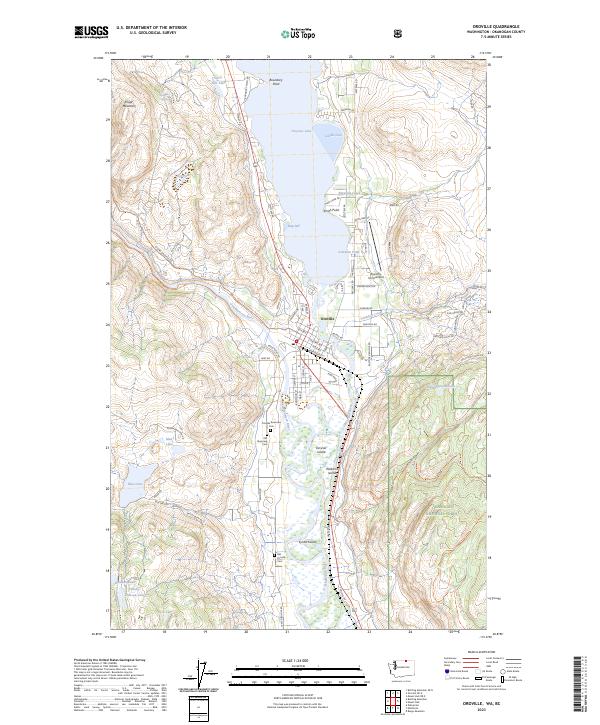
Historical Maps of Oroville Through Time
5 maps found

Featured Locations
Source Details
SourceU.S. Geological Survey
CopyrightPublic Domain