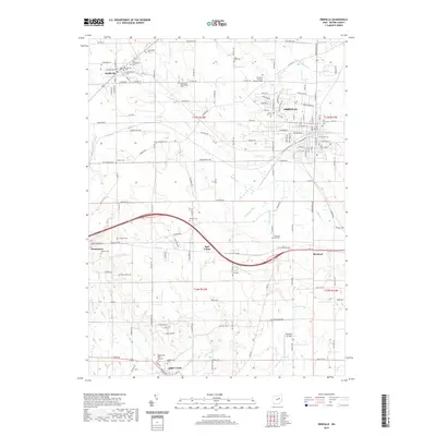
2019 Map of Orrville
USGS Topo · Published 2019About this map
Orrville serves as the central hub of this eastern Wayne County landscape, where industrial grid patterns meet the winding paths of Sugar Creek and Little Sugar Creek. The map is particularly notable for its dense concentration of burial grounds, including a cluster of legacy sites in Smithville such as the Old Presbyterian Cemetery, Old Hill Cemetery, and Old Lutheran Cemetery. These features, along with the Oak Grove Mennonite Cemetery, suggest a deep-rooted denominational history across the townships.
Find a feature on this map
143 named features on this map. Tap any name to fly to it.
Don’t see what you’re looking for? This feature index may not catch every label — zoom into the map to look around manually.
Map Details
Editions of this 2019 Orrville Map
This is the sole edition of this map. No revisions or reprints were ever made.
Other maps of this area

1901 · Massillon
USGS Topo · 1:62,500

1901 · Wooster
USGS Topo · 1:62,500

1903 · Massillon
USGS Topo · 1:62,500

1903 · Wooster
USGS Topo · 1:62,500

1914 · Navarre
USGS Topo · 1:62,500

1915 · Millersburg
USGS Topo · 1:62,500

1943 · Millersburg
USGS Topo · 1:62,500

1944 · Navarre
USGS Topo · 1:62,500

1951 · Canton
USGS Topo · 1:250,000

1953 · Canton
USGS Topo · 1:250,000