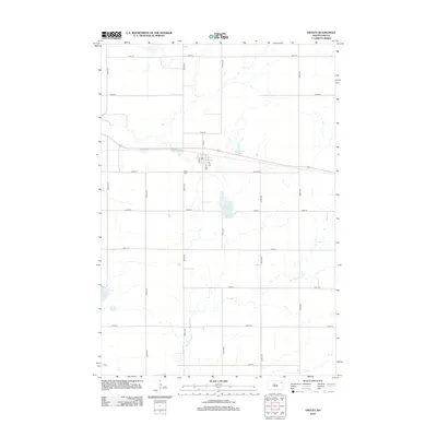
2012 Map of Ortley
USGS Topo · Published 2012About this map
Ortley serves as the primary center of activity in this part of Roberts and Day counties, organized around a grid of streets including Ash St and Oak St. The town's historical footprint is anchored by the Ortley Cem to the south. This landscape is defined by the headwaters and drainage patterns of the Big Sioux River, which winds through the southern portion of the quadrangle. The surrounding prairie is dotted with significant glacial features typical of the Coteau des Prairies, most notably Bill Smith Slough and Pearson Slough. Further west, Anderson Lake marks a low point in the terrain. The area's rural character is maintained by a rigid network of section roads like 139th St and 450th Ave, reflecting the enduring township and range survey system that shaped local land ownership and travel.
Find a feature on this map
25 named features on this map. Tap any name to fly to it.
Don’t see what you’re looking for? This feature index may not catch every label — zoom into the map to look around manually.
Map Details
Editions of this 2012 Ortley Map
This is the sole edition of this map. No revisions or reprints were ever made.
Other maps of this area

1953 · Milbank
USGS Topo · 1:250,000

1958 · Milbank
USGS Topo · 1:250,000

1970 · Summit
USGS Topo · 1:24,000

1970 · Lonesome Lake
USGS Topo · 1:24,000

1970 · Summit NE
USGS Topo · 1:24,000

1970 · Waubay
USGS Topo · 1:24,000

1970 · Florence NE
USGS Topo · 1:24,000

1970 · Enemy Swim Lake East
USGS Topo · 1:24,000

1970 · Ortley
USGS Topo · 1:24,000

1970 · Enemy Swim Lake West
USGS Topo · 1:24,000