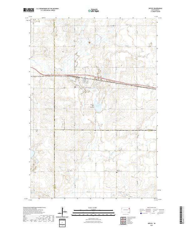
2021 Map of Ortley
USGS Topo · Published 2021About this map
Ortley sits atop the glacial landscape of the Coteau des Prairies, a region defined by its distinct topography and network of wetlands. This section of Roberts County is characterized by a high concentration of water bodies, including Bill Smith Slough and Pearson Slough, which drain toward the headwaters of the Big Sioux River in the south. The settlement pattern follows a rigorous grid of section lines, though the path of Route 12 and the historic Yellowstone Trl cut across this geometry, marking the primary east-west corridor through the township.
Find a feature on this map
36 named features on this map. Tap any name to fly to it.
Don’t see what you’re looking for? This feature index may not catch every label — zoom into the map to look around manually.
Map Details
Editions of this 2021 Ortley Map
This is the sole edition of this map. No revisions or reprints were ever made.
Other maps of this area

1953 · Milbank
USGS Topo · 1:250,000

1958 · Milbank
USGS Topo · 1:250,000

1970 · Summit
USGS Topo · 1:24,000

1970 · Lonesome Lake
USGS Topo · 1:24,000

1970 · Summit NE
USGS Topo · 1:24,000

1970 · Waubay
USGS Topo · 1:24,000

1970 · Florence NE
USGS Topo · 1:24,000

1970 · Enemy Swim Lake East
USGS Topo · 1:24,000

1970 · Ortley
USGS Topo · 1:24,000

1970 · Enemy Swim Lake West
USGS Topo · 1:24,000