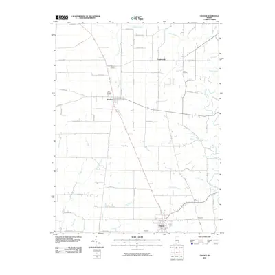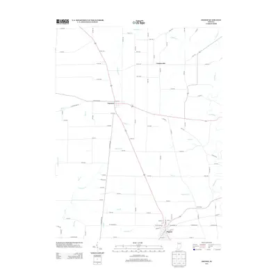
2022 Map of Osgood
USGS Topo · Published 2022About this map
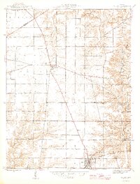
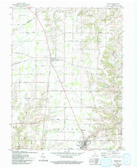
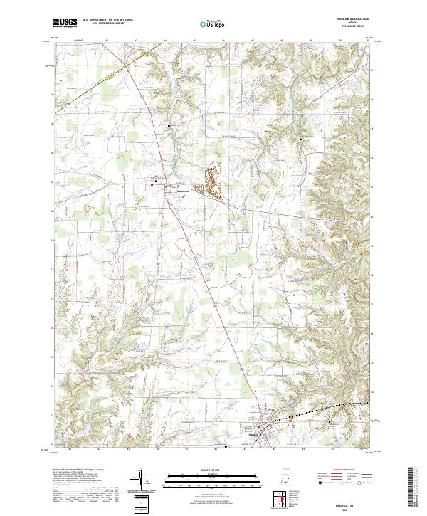
The town of Osgood serves as the southern anchor of this Ripley County survey, where the local road network converges near Greendale Cem. Traveling north along the highway corridor, the landscape transitions toward the smaller settlement of Napoleon, which is centered around the intersection of Main St and Wilson St. This area of Indiana is defined by a dense system of seasonal and perennial waterways that have carved the terrain over generations, most notably Laughery Creek and its various tributaries such as Plum Creek and Hickory Lick Creek. For genealogists, the map is particularly useful for locating several distinct burial grounds that dot the countryside, including Old Salem Cem, Booher Cem, and Saint Maurice Cem. These sites, often located near historical homesteads or old parish lines, provide a clear record of early family settlement patterns across the rural townships.
Find a feature on this map
58 named features on this map. Tap any name to fly to it.
Don’t see what you’re looking for? This feature index may not catch every label — zoom into the map to look around manually.
Map Details
Editions of this 2022 Osgood Map
This is the sole edition of this map. No revisions or reprints were ever made.
Historical Maps of Osgood Through Time
7 maps found