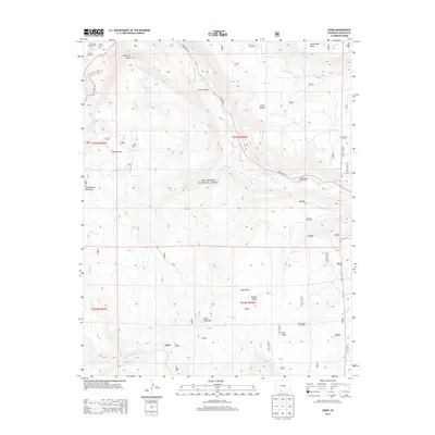
2013 Map of Osier
USGS Topo · Published 2013About this map
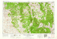
The Conejos River and Rio de los Pinos dominate this high-altitude landscape within the Rio Grande National Forest. The small settlement of Osier serves as a focal point in the southern portion of the map, situated near Osier Mountain and the expansive Osier Park. This area is characterized by seasonal ranching and outdoor activity, evidenced by the Menhaven Ranch and Trail Gulch Cow Camp. Steep terrain rises toward prominent heights like Mcintyre Peak and Pinorealosa Mountain, while drainage networks such as Bear Cr and Cascade Cr carve through the canyons. Public land use is prominent throughout, with established sites including the Aspen Glade Campground and Elk Creek Campground positioned along the primary route of State Hwy 17.
Find a feature on this map
31 named features on this map. Tap any name to fly to it.
Don’t see what you’re looking for? This feature index may not catch every label — zoom into the map to look around manually.
Map Details
Editions of this 2013 Osier Map
This is the sole edition of this map. No revisions or reprints were ever made.
Other maps of this area
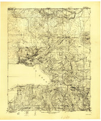
1918 · Tusas
USGS Topo · 1:125,000
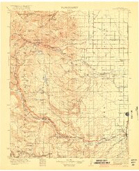
1922 · Conejos
USGS Topo · 1:125,000

1945 · Durango
USGS Topo · 1:250,000
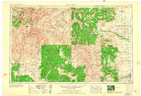
1953 · Durango
USGS Topo · 1:250,000
1954 · Durango
USGS Topo · 1:250,000

1954 · Aztec
USGS Topo · 1:250,000
1955 · Brazos Peak
USGS Topo · 1:62,500
1958 · Aztec
USGS Topo · 1:250,000
1961 · Durango
USGS Topo · 1:250,000
1962 · Aztec
USGS Topo · 1:250,000