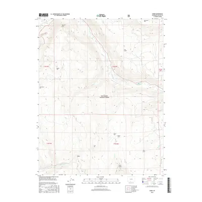
2016 Map of Osier
USGS Topo · Published 2016About this map
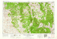
The settlement of Osier sits at the heart of this high-elevation landscape within the Rio Grande National Forest. The geography is defined by the sharp descent from peaks like McIntyre Peak and Pinorealosa Mtn toward the Conejos River and Rio de los Pinos. The terrain is deeply incised by drainages such as Toltec Canyon and Long Canyon, which move water through the alpine environment. These watercourses, including Osier Cr and Toltec Cr, have historically dictated the placement of small mountain outposts and seasonal camps. Locally significant landmarks like Osier Park and Spruce Hole illustrate the complex interplay of meadow and forest that characterizes this portion of the southern Colorado Rockies. The map provides a detailed view of the drainage patterns and high-country routes essential for understanding the area's development.
Find a feature on this map
30 named features on this map. Tap any name to fly to it.
Don’t see what you’re looking for? This feature index may not catch every label — zoom into the map to look around manually.
Map Details
Editions of this 2016 Osier Map
This is the sole edition of this map. No revisions or reprints were ever made.
Other maps of this area
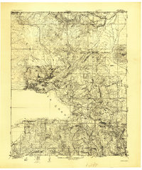
1918 · Tusas
USGS Topo · 1:125,000
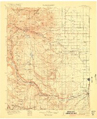
1922 · Conejos
USGS Topo · 1:125,000

1945 · Durango
USGS Topo · 1:250,000
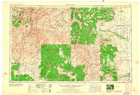
1953 · Durango
USGS Topo · 1:250,000
1954 · Durango
USGS Topo · 1:250,000

1954 · Aztec
USGS Topo · 1:250,000
1955 · Brazos Peak
USGS Topo · 1:62,500
1958 · Aztec
USGS Topo · 1:250,000
1961 · Durango
USGS Topo · 1:250,000
1962 · Aztec
USGS Topo · 1:250,000