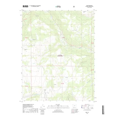
2019 Map of Osier
USGS Topo · Published 2019About this map
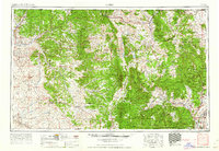
Osier and Osier Park sit within the high-elevation terrain of the Rio Grande National Forest along the southern edge of Colorado. This landscape is defined by the deep incisions of the Rio de los Pinos and the Los Pinos River, where the terrain drops sharply into Toltec Canyon. The map reveals a high-country network of water and peaks, including the prominence of McIntyre Peak to the north and Osier Mtn near the center of the quadrangle. The presence of FDR 103 suggests the limited but vital access routes through these timbered slopes and alpine meadows. Drainage systems like Bear Cr, Cascade Cr, and the Conejos River illustrate the complex watershed of the southern San Juan mountains, while names like Alameditas Mesa and Pinorealosa Mtn reflect the region's cultural and geographic heritage.
Find a feature on this map
30 named features on this map. Tap any name to fly to it.
Don’t see what you’re looking for? This feature index may not catch every label — zoom into the map to look around manually.
Map Details
Editions of this 2019 Osier Map
This is the sole edition of this map. No revisions or reprints were ever made.
Other maps of this area
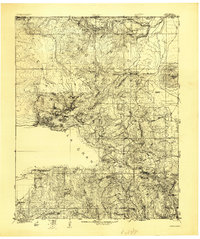
1918 · Tusas
USGS Topo · 1:125,000
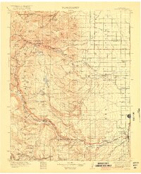
1922 · Conejos
USGS Topo · 1:125,000

1945 · Durango
USGS Topo · 1:250,000
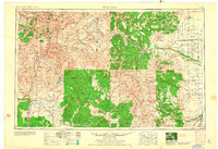
1953 · Durango
USGS Topo · 1:250,000
1954 · Durango
USGS Topo · 1:250,000

1954 · Aztec
USGS Topo · 1:250,000
1955 · Brazos Peak
USGS Topo · 1:62,500
1958 · Aztec
USGS Topo · 1:250,000
1961 · Durango
USGS Topo · 1:250,000
1962 · Aztec
USGS Topo · 1:250,000