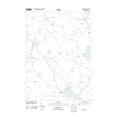
2012 Map of Ossipee
USGS Topo · Published 2012About this map
Ossipee serves as a primary hub in this Carroll County landscape, situated near the western edge of the map. The terrain is defined by its extensive water network, where the Pine River flows through the central valley, eventually meeting Pine River Pond and its surrounding developments like Overlook Island. This 2012 survey illustrates the dispersed settlement pattern of the era, from the established village of North Wakefield to historical localities like Chases Mill and Center Effingham. Higher elevations such as Whiteface Mountain and Pocket Mountain overlook a low-lying patchwork of brooks and ponds, including Duncan Lake and White Pond. The road network connects small crossroads like Leighton Corners and Grape Corner, reflecting the area's transition from traditional rural industries to a focus on seasonal lakeside recreation at places like Beachwood Shores Campground.
Find a feature on this map
110 named features on this map. Tap any name to fly to it.
Don’t see what you’re looking for? This feature index may not catch every label — zoom into the map to look around manually.
Map Details
Editions of this 2012 Ossipee Map
This is the sole edition of this map. No revisions or reprints were ever made.
Other maps of this area

1891 · Newfield
USGS Topo · 1:62,500

1893 · Newfield
USGS Topo · 1:62,500

1910 · Kezar Falls
USGS Topo · 1:48,000

1911 · Kezar Falls
USGS Topo · 1:62,500

1928 · Wolfeboro
USGS Topo · 1:62,500

1930 · Ossipee Lake
USGS Topo · 1:62,500

1933 · Newfield
USGS Topo · 1:48,000

1937 · Newfield
USGS Topo · 1:62,500

1942 · Newfield
USGS Topo · 1:62,500

1944 · Newfield
USGS Topo · 1:62,500