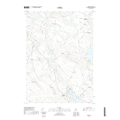
2018 Map of Ossipee
USGS Topo · Published 2018About this map
Pine River meanders southward through this Carroll County landscape, connecting the clustered settlements of Ossipee and North Wakefield. The area is characterized by a high concentration of water bodies and wetlands, including Hutchins Pond, Duncan Lake, and the larger Province Lake to the east. The terrain rises sharply at Whiteface Mtn and Pocket Mtn, with local landmarks like Foggs Ridge and Ballard Ridge defining the local topography. This 2018 survey reveals a network of rural roads that weave through historic locales such as Center Effingham, Granite, and Chases Mill, reflecting the long-established residential and agricultural patterns of eastern New Hampshire. Geologists and local researchers can trace the drainage of Wilkinson Brook and Pike Brook, which feed into the Pine River Pond system, illustrating the intricate hydrology of the Ossipee watershed.
Find a feature on this map
97 named features on this map. Tap any name to fly to it.
Don’t see what you’re looking for? This feature index may not catch every label — zoom into the map to look around manually.
Map Details
Editions of this 2018 Ossipee Map
This is the sole edition of this map. No revisions or reprints were ever made.
Other maps of this area
1891 · Newfield
USGS Topo · 1:62,500
1893 · Newfield
USGS Topo · 1:62,500
1910 · Kezar Falls
USGS Topo · 1:48,000
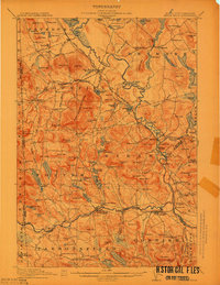
1911 · Kezar Falls
USGS Topo · 1:62,500
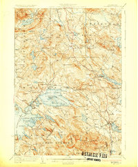
1928 · Wolfeboro
USGS Topo · 1:62,500
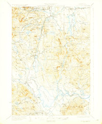
1930 · Ossipee Lake
USGS Topo · 1:62,500
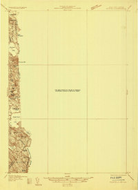
1933 · Newfield
USGS Topo · 1:48,000
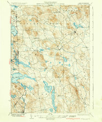
1937 · Newfield
USGS Topo · 1:62,500
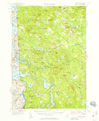
1942 · Newfield
USGS Topo · 1:62,500
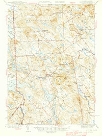
1944 · Newfield
USGS Topo · 1:62,500