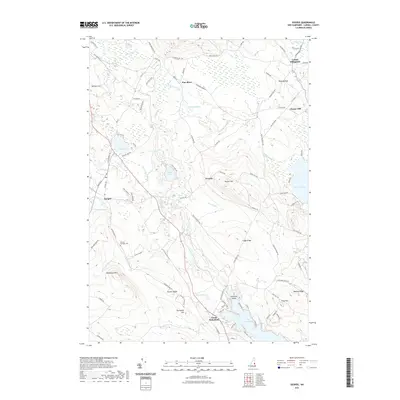
2021 Map of Ossipee
USGS Topo · Published 2021About this map
Pine River meanders through the heart of this Carroll County landscape, connecting the village of Ossipee with the high ridges of the Ossipee Mountains. The 2021 topography reveals a region defined by its glacial heritage, where prominent elevations like Whiteface Mtn and Pocket Mtn overlook a dense network of water bodies, including Duncan Lake and the sprawling Province Lake on the eastern margin. The settlement pattern remains centered on historic clusters such as North Wakefield and Center Effingham, while the small hamlet of Granite sits tucked between the peaks.
Find a feature on this map
113 named features on this map. Tap any name to fly to it.
Don’t see what you’re looking for? This feature index may not catch every label — zoom into the map to look around manually.
Map Details
Editions of this 2021 Ossipee Map
This is the sole edition of this map. No revisions or reprints were ever made.
Other maps of this area

1891 · Newfield
USGS Topo · 1:62,500

1893 · Newfield
USGS Topo · 1:62,500

1910 · Kezar Falls
USGS Topo · 1:48,000

1911 · Kezar Falls
USGS Topo · 1:62,500

1928 · Wolfeboro
USGS Topo · 1:62,500

1930 · Ossipee Lake
USGS Topo · 1:62,500

1933 · Newfield
USGS Topo · 1:48,000

1937 · Newfield
USGS Topo · 1:62,500

1942 · Newfield
USGS Topo · 1:62,500

1944 · Newfield
USGS Topo · 1:62,500