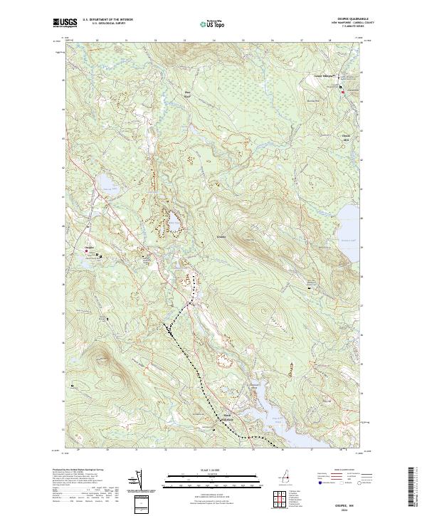
2024 Map of Ossipee
USGS Topo · Published 2024About this map
Ossipee and its surrounding Carroll County countryside are defined by a network of small settlements and family burial grounds set against the foothills of the White Mountains. The landscape is dotted with genealogical landmarks, including the Ossipee Town Cem and the Carroll County Farm Cem, while the historic core of Center Effingham features the Center Effingham Baptist Church. Industry and transit are marked by the presence of Chases Mill on the eastern edge and the NH Northcoast Corp RR Trl which follows the path of former rail infrastructure.
Find a feature on this map
107 named features on this map. Tap any name to fly to it.
Don’t see what you’re looking for? This feature index may not catch every label — zoom into the map to look around manually.
Map Details
Editions of this 2024 Ossipee Map
This is the sole edition of this map. No revisions or reprints were ever made.
Other maps of this area

1891 · Newfield
USGS Topo · 1:62,500

1893 · Newfield
USGS Topo · 1:62,500

1910 · Kezar Falls
USGS Topo · 1:48,000

1911 · Kezar Falls
USGS Topo · 1:62,500

1928 · Wolfeboro
USGS Topo · 1:62,500

1930 · Ossipee Lake
USGS Topo · 1:62,500

1933 · Newfield
USGS Topo · 1:48,000

1937 · Newfield
USGS Topo · 1:62,500

1942 · Newfield
USGS Topo · 1:62,500

1944 · Newfield
USGS Topo · 1:62,500