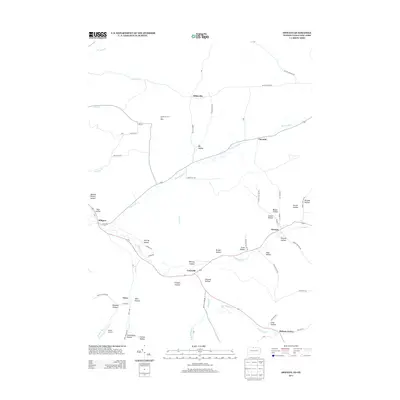
2013 Map of Oswayo
USGS Topo · Published 2013About this map
Oswayo and Millport anchor this map of the northern Pennsylvania and southern New York borderlands, where the landscape is defined by a dense network of named hollows and winding creek beds. The drainage of Oswayo Cr and Elevenmile Cr dictates the local road patterns, such as 11 Mile Rd, which connect small crossroads like Coneville and Chrystal. The region's industrial character is marked by the Sharon Oil and Gas Field in the north, while the presence of Adams Airport and the settlement at Hebron Center provide modern reference points for local researchers. Family history and local geography are deeply intertwined here, evidenced by numerous hollows named for early residents or landmarks, including Brizzee Hollow, Wokeley Hollow, and the curiously named Toad Hollow. These small drainages reflect the historical settlement of these narrow valleys between the timbered ridges of Potter and Allegany counties.
Find a feature on this map
66 named features on this map. Tap any name to fly to it.
Don’t see what you’re looking for? This feature index may not catch every label — zoom into the map to look around manually.
Map Details
Editions of this 2013 Oswayo Map
This is the sole edition of this map. No revisions or reprints were ever made.
Other maps of this area

1925 · Belmont
USGS Topo · 1:62,500

1926 · Wellsville
USGS Topo · 1:62,500

1932 · Genesee
USGS Topo · 1:62,500

1934 · Coudersport
USGS Topo · 1:48,000

1937 · Genesee
USGS Topo · 1:62,500

1938 · Coudersport
USGS Topo · 1:62,500

1939 · Belmont
USGS Topo · 1:62,500

1950 · Elmira
USGS Topo · 1:250,000

1954 · Williamsport
USGS Topo · 1:250,000

1957 · Warren
USGS Topo · 1:250,000