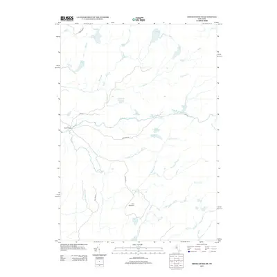
2013 Map of Oswegatchie SW
USGS Topo · Published 2013About this map
Middle Br Oswegatchie River meanders through this section of the Adirondack region, defining a landscape dominated by complex hydrography and wetland systems. This 2013 survey illustrates a quiet, largely unpopulated area where the primary point of settlement interest is Bryants Bridge, a crossing that anchors the local road network including Bryant Bridge Rd and Ty Swamp Rd.
Find a feature on this map
39 named features on this map. Tap any name to fly to it.
Don’t see what you’re looking for? This feature index may not catch every label — zoom into the map to look around manually.
Map Details
Editions of this 2013 Oswegatchie SW Map
This is the sole edition of this map. No revisions or reprints were ever made.
Other maps of this area

1911 · Lowville
USGS Topo · 1:62,500

1912 · Number Four
USGS Topo · 1:62,500

1913 · Lowville
USGS Topo · 1:62,500

1913 · Lake Bonaparte
USGS Topo · 1:62,500

1915 · Number Four
USGS Topo · 1:62,500

1916 · Lake Bonaparte
USGS Topo · 1:62,500

1916 · Oswegatchie
USGS Topo · 1:62,500

1918 · Oswegatchie
USGS Topo · 1:62,500

1948 · Ogdensburg
USGS Topo · 1:250,000

1950 · Utica
USGS Topo · 1:250,000