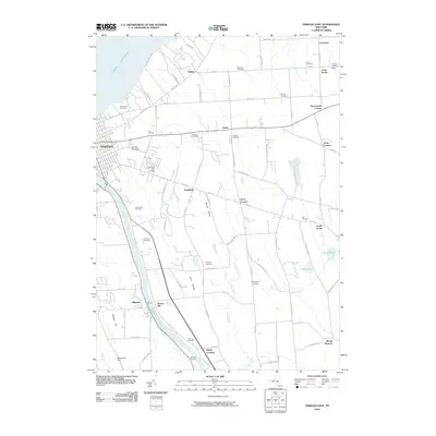
2010 Map of Oswego East
USGS Topo · Published 2010About this map
The Oswego River and the parallel Oswego Canal define the industrial and transport corridor of this region, flowing northward toward the expansive shores of Lake Ontario. The city of Oswego anchors the western edge, featuring the Oswego Speedway and a dense network of streets that give way to the rural landscape of Oswego County. Numerous family-named settlements like Jones Corners, Hammonds Corner, and Scriba are scattered across the interior, connected by a web of local routes such as Co Rte 1 and Middle Rd.
Find a feature on this map
90 named features on this map. Tap any name to fly to it.
Don’t see what you’re looking for? This feature index may not catch every label — zoom into the map to look around manually.
Map Details
Editions of this 2010 Oswego East Map
This is the sole edition of this map. No revisions or reprints were ever made.
Other maps of this area

1900 · Oswego
USGS Topo · 1:62,500

1900 · Fulton
USGS Topo · 1:62,500

1943 · Oswego East
USGS Topo · 1:31,680

1943 · New Haven
USGS Topo · 1:31,680

1943 · Oswego West
USGS Topo · 1:31,680

1943 · Texas
USGS Topo · 1:31,680

1943 · Pennellville
USGS Topo · 1:31,680

1943 · Hannibal
USGS Topo · 1:31,680

1943 · West Of Texas
USGS Topo · 1:31,680
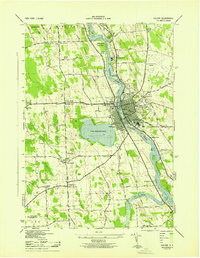
1943 · Fulton
USGS Topo · 1:31,680