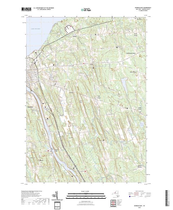
2023 Map of Oswego East
USGS Topo · Published 2023About this map
The Oswego River serves as a central artery for this region of New York, carving through a landscape defined by glacial drumlins and coastal proximity to Lake Ontario. This 2023 survey details the transition from the urban grid of Oswego to the rural hamlets of Scriba, Lansing, and Minetto. The topographic data reveals a high concentration of historic burial grounds that anchor the local lineage, including Saint Peters Cem, Riverside Cem, and Kingdom Cem.
Find a feature on this map
129 named features on this map. Tap any name to fly to it.
Don’t see what you’re looking for? This feature index may not catch every label — zoom into the map to look around manually.
Map Details
Editions of this 2023 Oswego East Map
This is the sole edition of this map. No revisions or reprints were ever made.
Other maps of this area

1900 · Oswego
USGS Topo · 1:62,500

1900 · Fulton
USGS Topo · 1:62,500

1943 · Oswego East
USGS Topo · 1:31,680

1943 · New Haven
USGS Topo · 1:31,680

1943 · Oswego West
USGS Topo · 1:31,680

1943 · Texas
USGS Topo · 1:31,680

1943 · Pennellville
USGS Topo · 1:31,680

1943 · Hannibal
USGS Topo · 1:31,680

1943 · West Of Texas
USGS Topo · 1:31,680
1943 · Fulton
USGS Topo · 1:31,680