
1943 Map of Oswego East
USGS Topo · Published 1943About this map
The Oswego River and its accompanying Barge Canal dominate the western edge of this 1943 survey, marking the vital industrial and transport corridor of the mid-20th century. While the city of Oswego shows its urban grid and institutions like the St Francis Home and County Jail, the surrounding townships of Scriba, Minetto, and Volney maintain a rural character defined by a dense network of country roads and localized settlements.
Find a feature on this map
73 named features on this map. Tap any name to fly to it.
Don’t see what you’re looking for? This feature index may not catch every label — zoom into the map to look around manually.
Map Details
Editions of this 1943 Oswego East Map
This is the sole edition of this map. No revisions or reprints were ever made.
Other maps of this area

1900 · Oswego
USGS Topo · 1:62,500

1900 · Fulton
USGS Topo · 1:62,500

1943 · New Haven
USGS Topo · 1:31,680

1943 · Oswego West
USGS Topo · 1:31,680

1943 · Texas
USGS Topo · 1:31,680

1943 · Pennellville
USGS Topo · 1:31,680

1943 · Hannibal
USGS Topo · 1:31,680

1943 · West Of Texas
USGS Topo · 1:31,680
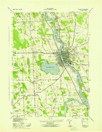
1943 · Fulton
USGS Topo · 1:31,680
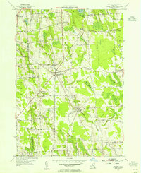
1954 · Hannibal
USGS Topo · 1:24,000