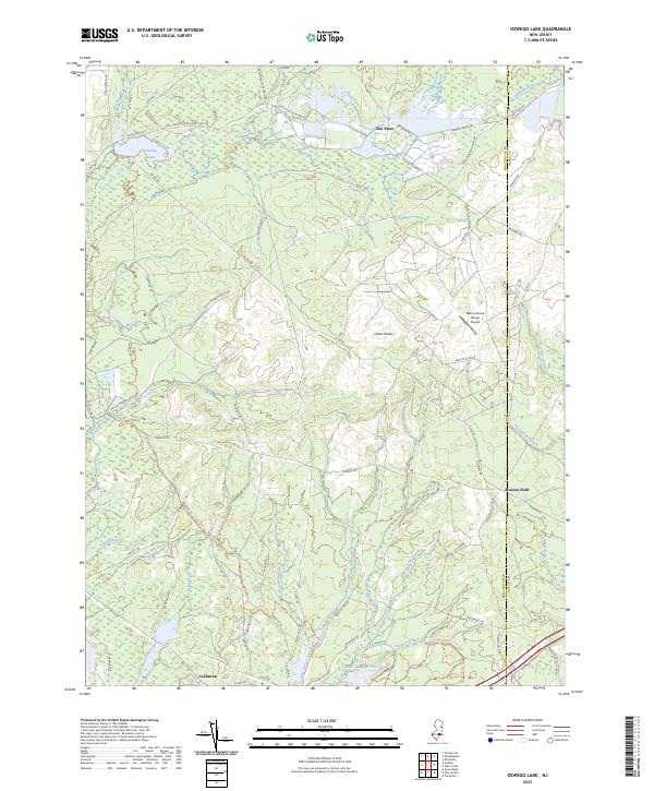
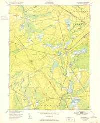
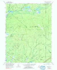
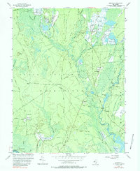
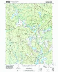
2023 Map of Oswego Lake
USGS Topo · Published 2023About this map
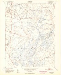
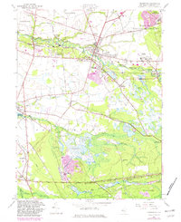
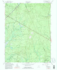
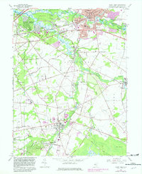
Oswego Lake and the winding Oswego River define this portion of the New Jersey Pine Barrens, where water and sand have long dictated human activity. The map reveals a landscape heavily influenced by historical resource management and military use, from the Civil Conservation Corps Camp Rd near the northern boundary to the modern footprint of the Dept of Defense and the Warren Grove Range Airport. Small settlements like Sim Place and Leektown appear alongside the intricate drainage networks of the West Branch Bass River and East Branch Bass River. The southern edge of the sheet transitions into the protected lands of the Bass River State Forest, featuring Lake Absegami and the remains of the Push Line railroad, illustrating the region's shift from industrial timber and bog iron roots to conservation and defense training.
Find a feature on this map
76 named features on this map. Tap any name to fly to it.
Don’t see what you’re looking for? This feature index may not catch every label — zoom into the map to look around manually.
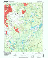
Map Details
Editions of this 2023 Oswego Lake Map
This is the sole edition of this map. No revisions or reprints were ever made.
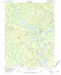
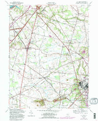
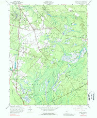
Historical Maps of Penn Place Through Time
51 maps found

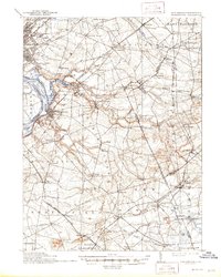
1888 Bordentown
Burlington County, NJ

1888 Mount Holly
Burlington County, NJ

1888 Pemberton
Burlington County, NJ
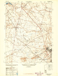
1893 Bordentown
Burlington County, NJ

1894 Mount Holly
Burlington County, NJ

1894 Pemberton
Burlington County, NJ

1898 Mount Holly
Burlington County, NJ
1898 Pemberton
Burlington County, NJ
1900 Rancocas
Burlington County, NJ
1906 Bordentown
Burlington County, NJ

1919 Mount Holly
Burlington County, NJ

1942 Mount Holly
Burlington County, NJ

1942 Pemberton
Burlington County, NJ

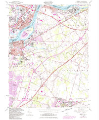
1948 Bordentown
Burlington County, NJ
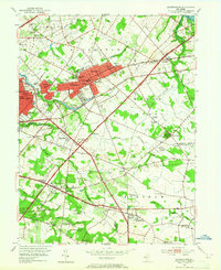
1948 Columbus
Burlington County, NJ

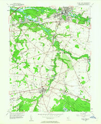
1949 Pemberton
Burlington County, NJ
1949 Pemberton
Burlington County, NJ
1951 Chatsworth
Burlington County, NJ
1951 Indian Mills
Burlington County, NJ
1951 Pemberton
Burlington County, NJ
1951 Woodmansie
Burlington County, NJ
1953 Atsion
Burlington County, NJ
1953 Moorestown
Burlington County, NJ
1953 Mount Holly
Burlington County, NJ
1955 Bristol
Burlington County, NJ
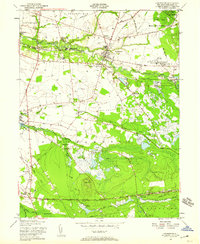
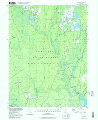
1955 Oswego Lake
Burlington County, NJ
1956 Jenkins
Burlington County, NJ
1957 Chatsworth
Burlington County, NJ
1957 Columbus
Burlington County, NJ
1957 Indian Mills
Burlington County, NJ
1957 Pemberton
Burlington County, NJ
1957 Woodmansie
Burlington County, NJ
1966 Moorestown
Burlington County, NJ
1967 Mount Holly
Burlington County, NJ
1995 Chatsworth
Burlington County, NJ
1995 Indian Mills
Burlington County, NJ

1995 Moorestown
Burlington County, NJ
1995 Woodmansie
Burlington County, NJ
1997 Atsion
Burlington County, NJ
1997 Jenkins
Burlington County, NJ
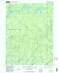
1997 Oswego Lake
Burlington County, NJ
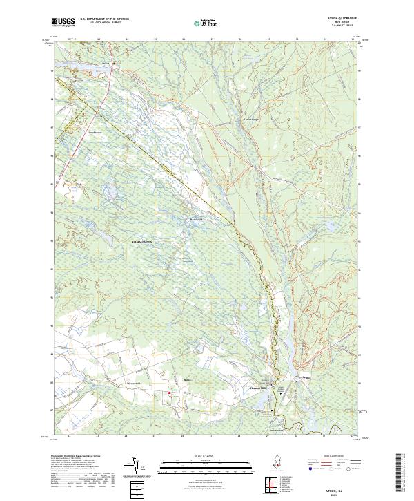
2023 Atsion
Burlington County, NJ
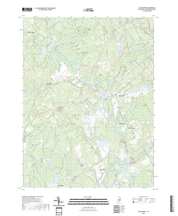
2023 Chatsworth
Burlington County, NJ
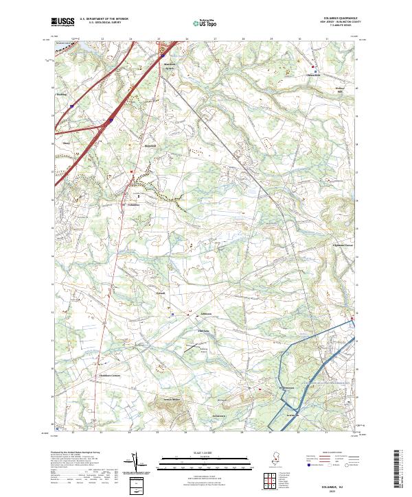
2023 Columbus
Burlington County, NJ
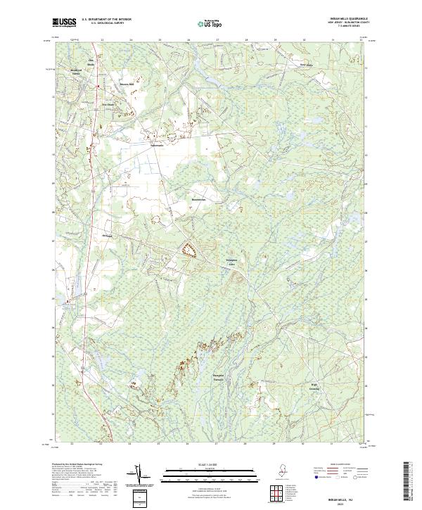
2023 Indian Mills
Burlington County, NJ
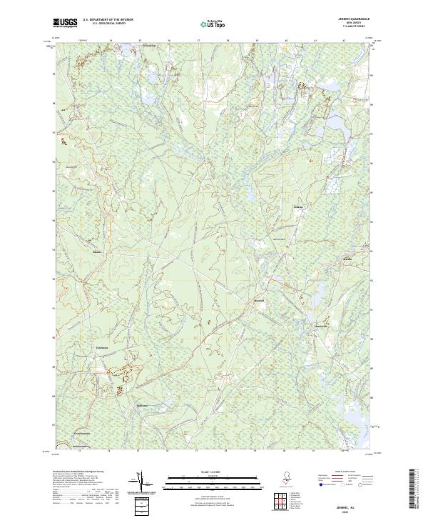
2023 Jenkins
Burlington County, NJ
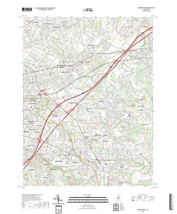
2023 Moorestown
Burlington County, NJ
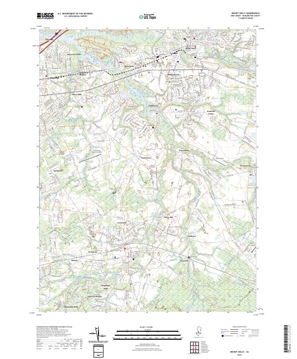
2023 Mount Holly
Burlington County, NJ
2023 Oswego Lake
Burlington County, NJ
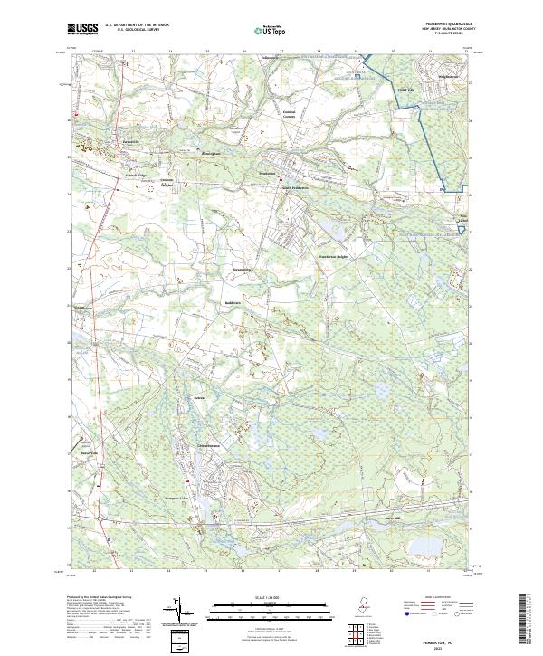
2023 Pemberton
Burlington County, NJ
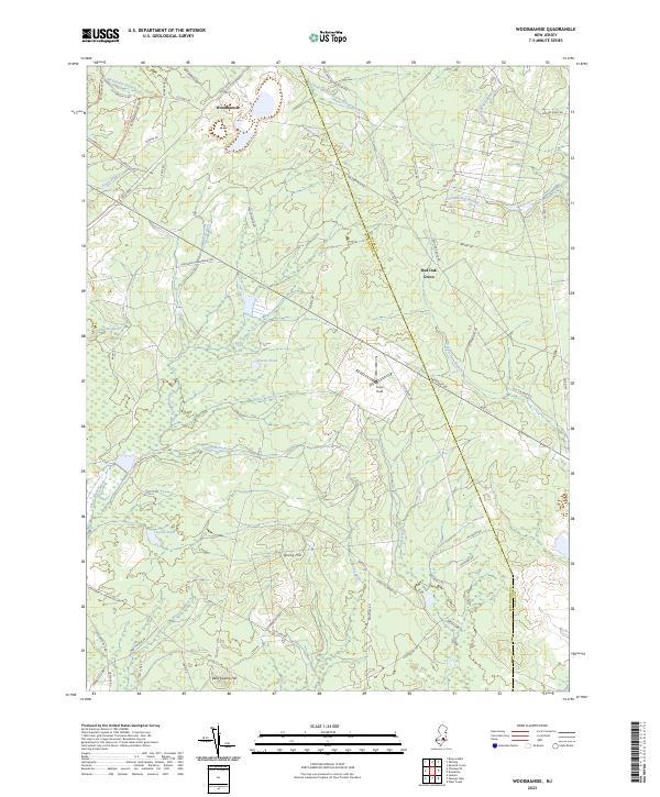
2023 Woodmansie
Burlington County, NJ
Featured Locations
- Little Egg Harbor Township, NJ
- Stafford Township, NJ
- Bass River Township, NJ
- Washington Township, NJ
- Penn Place, Washington Township