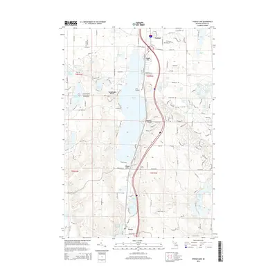
2014 Map of Otsego Lake
USGS Topo · Published 2014About this map
Otsego Lake anchors this mid-Michigan landscape, its long profile stretching from the outskirts of Gaylord south toward Waters. The settlement pattern is defined by waterfront communities and seasonal developments, including Eyedylwild Beach, Arbutus Beach, and Pearl City. Along the western shore, the land rises into the Manistee National Forest, where a dense network of trails and forestry roads like Manuka Trl and High Tower Trl traverse the undulating terrain.
Find a feature on this map
130 named features on this map. Tap any name to fly to it.
Don’t see what you’re looking for? This feature index may not catch every label — zoom into the map to look around manually.
Map Details
Editions of this 2014 Otsego Lake Map
This is the sole edition of this map. No revisions or reprints were ever made.
Other maps of this area

1949 · Otsego Lake
USGS Topo · 1:62,500

1950 · Turtle Lake
USGS Topo · 1:24,000

1951 · K P Lake
USGS Topo · 1:24,000

1951 · Big Bradford Lake
USGS Topo · 1:24,000

1951 · Turtle Lake
USGS Topo · 1:24,000

1951 · Otsego Lake
USGS Topo · 1:24,000

1954 · Gaylord
USGS Topo · 1:62,500

1954 · Traverse City
USGS Topo · 1:250,000

1955 · Cheboygan
USGS Topo · 1:250,000

1956 · Alba
USGS Topo · 1:62,500