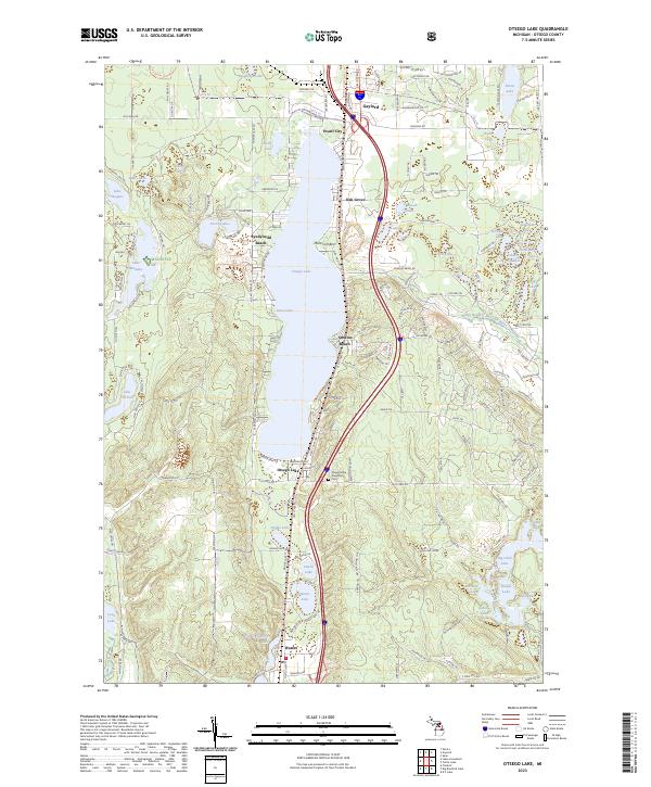
2023 Map of Otsego Lake
USGS Topo · Published 2023About this map
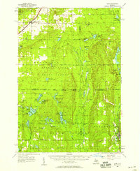
Otsego Lake dominates this northern Michigan landscape, serving as a focal point for numerous lakeside communities including Eyedylwild Beach, Arbutus Beach, and the settlement of Otsego Lake itself. To the north, the county seat of Gaylord transitions into smaller locales like Pearll City and Oak Grove. The map records a complex network of glacial lakes and wetlands, with Lake Manuka and Lake Horicon situated west of the primary basin, while the North Branch Au Sable River emerges to the east.
Find a feature on this map
91 named features on this map. Tap any name to fly to it.
Don’t see what you’re looking for? This feature index may not catch every label — zoom into the map to look around manually.
Map Details
Editions of this 2023 Otsego Lake Map
This is the sole edition of this map. No revisions or reprints were ever made.
Other maps of this area
1949 · Otsego Lake
USGS Topo · 1:62,500
1950 · Turtle Lake
USGS Topo · 1:24,000
1951 · K P Lake
USGS Topo · 1:24,000
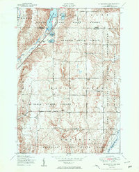
1951 · Big Bradford Lake
USGS Topo · 1:24,000
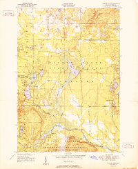
1951 · Turtle Lake
USGS Topo · 1:24,000
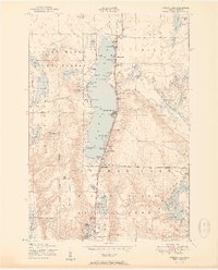
1951 · Otsego Lake
USGS Topo · 1:24,000
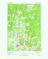
1954 · Gaylord
USGS Topo · 1:62,500

1954 · Traverse City
USGS Topo · 1:250,000

1955 · Cheboygan
USGS Topo · 1:250,000
1956 · Alba
USGS Topo · 1:62,500