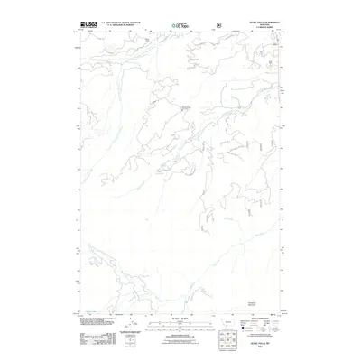
2011 Map of Ousel Falls
USGS Topo · Published 2011About this map
Ousel Falls serves as a central landmark in this high-elevation terrain where the South Fork West Fork Gallatin River meets a complex network of seasonal drainages. The landscape is defined by the sharp rise toward Cinnamon Mountain and the presence of established legacy holdings like the Michel Ranch, Smith Ranch, and Lazy T 4 Ranch. The introduction of the Yellowstone Mountain Club Fire Dept and a modern grid of residential access roads such as Sun Rise Way and Trophy Bull RD reflects the era's transition from traditional ranching to exclusive mountain development.
Find a feature on this map
33 named features on this map. Tap any name to fly to it.
Don’t see what you’re looking for? This feature index may not catch every label — zoom into the map to look around manually.
Map Details
Editions of this 2011 Ousel Falls Map
This is the sole edition of this map. No revisions or reprints were ever made.
Other maps of this area

1888 · Three Forks
USGS Topo · 1:250,000

1894 · Three Forks
USGS Topo · 1:250,000

1895 · Three Forks
USGS Topo · 1:250,000

1947 · Bozeman
USGS Topo · 1:250,000

1948 · Bozeman
USGS Topo · 1:250,000

1950 · Spanish Peaks
USGS Topo · 1:62,500

1950 · Sphinx Mountain
USGS Topo · 1:62,500

1955 · Bozeman
USGS Topo · 1:250,000

1955 · Garnet Mountain
USGS Topo · 1:62,500

1955 · Crown Butte
USGS Topo · 1:62,500