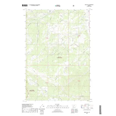
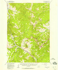
2020 Map of Ousel Falls
USGS Topo · Published 2020About this map
Gallatin National Forest and Beaverhead National Forest dominate this high-altitude landscape along the Madison and Gallatin County line. The map centers on the dramatic drainages and ridgelines that feed the S Fork W Fork Gallatin River, including its namesake Ousel Falls. A network of forest access and residential roads such as Towering Pines Rd and Michener Creek Rd weave through the northeastern quadrant, contrasting with the wilderness to the south and west.
Find a feature on this map
45 named features on this map. Tap any name to fly to it.
Don’t see what you’re looking for? This feature index may not catch every label — zoom into the map to look around manually.
Map Details
Editions of this 2020 Ousel Falls Map
This is the sole edition of this map. No revisions or reprints were ever made.
Other maps of this area
1888 · Three Forks
USGS Topo · 1:250,000
1894 · Three Forks
USGS Topo · 1:250,000
1895 · Three Forks
USGS Topo · 1:250,000

1947 · Bozeman
USGS Topo · 1:250,000

1948 · Bozeman
USGS Topo · 1:250,000
1950 · Spanish Peaks
USGS Topo · 1:62,500
1950 · Sphinx Mountain
USGS Topo · 1:62,500
1955 · Bozeman
USGS Topo · 1:250,000
1955 · Garnet Mountain
USGS Topo · 1:62,500
1955 · Crown Butte
USGS Topo · 1:62,500