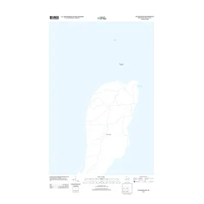
2013 Map of Outer Island
USGS Topo · Published 2013About this map
Outer Island stands as a prominent landmass within the waters of Lake Superior, marked by a network of paths and small streams that reach across its interior. On the northeastern edge, the shoreline curves to form Austad Bay, a sheltered indentation in the otherwise exposed coast. To the north, the presence of the Outer Island Shoal indicates the underwater extensions of the island's geography, presenting a hazard for navigation in this stretch of the Great Lakes. This 2013 survey by the U.S. Geological Survey documents the island's modern topographic state, focusing on the natural contours and drainage patterns that define this isolated landform within Ashland County.
Find a feature on this map
4 named features on this map. Tap any name to fly to it.
Don’t see what you’re looking for? This feature index may not catch every label — zoom into the map to look around manually.
Map Details
Editions of this 2013 Outer Island Map
This is the sole edition of this map. No revisions or reprints were ever made.
Other maps of this area

1953 · Ashland
USGS Topo · 1:250,000

1954 · Two Harbors
USGS Topo · 1:250,000

1957 · Two Harbors
USGS Topo · 1:250,000

1958 · Ashland
USGS Topo · 1:250,000

1958 · Two Harbors
USGS Topo · 1:250,000
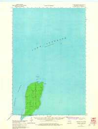
1963 · Outer Island
USGS Topo · 1:62,500

1963 · Cat Island
USGS Topo · 1:24,000

1963 · Michigan Island
USGS Topo · 1:24,000

1963 · Rocky Island
USGS Topo · 1:62,500
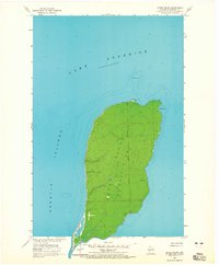
1963 · Outer Island
USGS Topo · 1:24,000