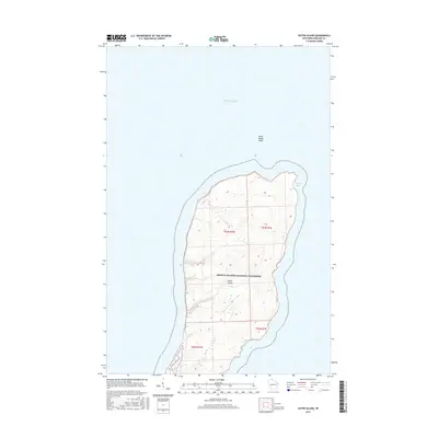
2015 Map of Outer Island
USGS Topo · Published 2015About this map
Outer Island rises from the cold waters of Lake Superior as the northernmost outlier of the Apostle Islands National Lakeshore. This 2015 survey reveals a landscape shaped by glacial legacy and the relentless action of the lake, featuring the protected waters of Austad Bay on the eastern shore and the navigational hazards of Outer Island Shoal to the north. The island's interior is dominated by a ridge system that climbs toward its northern end, with several drainages cutting toward the western coast. While largely a wilderness area, the map preserves the Public Land Survey System grid including parts of t53n r1w and t53n r1e, reflecting the formal cadastral history of this remote Wisconsin territory.
Find a feature on this map
9 named features on this map. Tap any name to fly to it.
Don’t see what you’re looking for? This feature index may not catch every label — zoom into the map to look around manually.
Map Details
Editions of this 2015 Outer Island Map
This is the sole edition of this map. No revisions or reprints were ever made.
Other maps of this area
1953 · Ashland
USGS Topo · 1:250,000
1954 · Two Harbors
USGS Topo · 1:250,000
1957 · Two Harbors
USGS Topo · 1:250,000
1958 · Ashland
USGS Topo · 1:250,000
1958 · Two Harbors
USGS Topo · 1:250,000
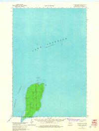
1963 · Outer Island
USGS Topo · 1:62,500
1963 · Cat Island
USGS Topo · 1:24,000
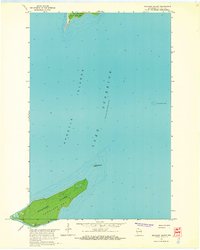
1963 · Michigan Island
USGS Topo · 1:24,000
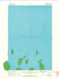
1963 · Rocky Island
USGS Topo · 1:62,500
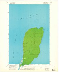
1963 · Outer Island
USGS Topo · 1:24,000