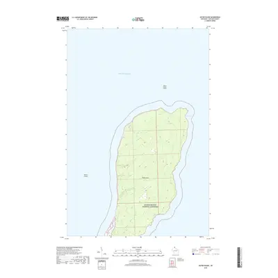
2018 Map of Outer Island
USGS Topo · Published 2018About this map
Apostle Islands National Lakeshore encompasses the entirety of this isolated landmass in Lake Superior. This survey captures the topographical character of Outer Island, the northernmost of the Apostle Islands chain. The island's eastern shoreline is defined by the curve of Austad Bay, while the waters to the north are marked by the Outer Island Shoal. The interior terrain is relatively uniform, with elevations subtly rising above the lake level, mapped with 10-foot contour intervals. This modern record reflects the island's status as a protected natural area, showing no significant roads or permanent settlements, preserving the character of this remote Lake Superior outpost.
Find a feature on this map
6 named features on this map. Tap any name to fly to it.
Don’t see what you’re looking for? This feature index may not catch every label — zoom into the map to look around manually.
Map Details
Editions of this 2018 Outer Island Map
This is the sole edition of this map. No revisions or reprints were ever made.
Other maps of this area
1953 · Ashland
USGS Topo · 1:250,000
1954 · Two Harbors
USGS Topo · 1:250,000
1957 · Two Harbors
USGS Topo · 1:250,000
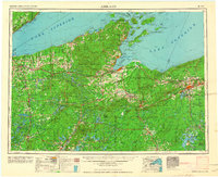
1958 · Ashland
USGS Topo · 1:250,000
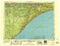
1958 · Two Harbors
USGS Topo · 1:250,000
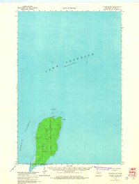
1963 · Outer Island
USGS Topo · 1:62,500
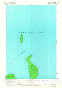
1963 · Cat Island
USGS Topo · 1:24,000
1963 · Michigan Island
USGS Topo · 1:24,000
1963 · Rocky Island
USGS Topo · 1:62,500
1963 · Outer Island
USGS Topo · 1:24,000