
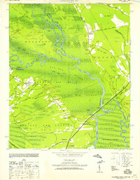
1944 Map of Outland
USGS Topo · Published 1944About this map
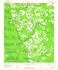
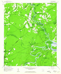
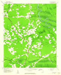
Lowcountry wetlands and rural crossroads define this 1940s landscape, where the Pee Dee River winds through the eastern reaches of Woodbury. The terrain is dominated by vast swamp systems, including Soccee Swamp and Bells Swamp, alongside the distinct circular depression of Carvers Bay. This era shows a community structured around family-named junctions such as Miller Crossroads, Pope Crossroads, and Cribb Crossroads, serving as vital meeting points for the surrounding farmsteads.
Find a feature on this map
68 named features on this map. Tap any name to fly to it.
Don’t see what you’re looking for? This feature index may not catch every label — zoom into the map to look around manually.
Map Details
Editions of this 1944 Outland Map
This is the sole edition of this map. No revisions or reprints were ever made.
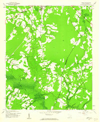
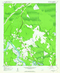
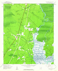
Other maps of this area
1943 · Yauhannah
USGS Topo · 1:24,000
1943 · Henry
USGS Topo · 1:24,000
1943 · Carvers Bay
USGS Topo · 1:24,000
1943 · Plantersville
USGS Topo · 1:24,000
1943 · Dongola
USGS Topo · 1:24,000
1943 · Rhems
USGS Topo · 1:24,000
1943 · Outland
USGS Topo · 1:24,000

1946 · Johnsonville
USGS Topo · 1:62,500

1949 · Georgetown
USGS Topo · 1:250,000

1967 · Georgetown
USGS Topo · 1:250,000