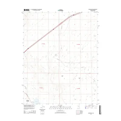
2014 Map of Overton NW
USGS Topo · Published 2014About this map
Moapa Valley occupies the southwestern corner of this desert landscape, where the agricultural and residential outskirts of the community meet the arid expanse of the Mojave Desert. The map captures a transition from the lower valley floor near the Bowman Reservoir to the elevated plateau of Mormon Mesa in the east. This 2014 survey documents the transportation corridor dominated by Interstate 15, which cuts diagonally across the northern half of the sheet, and the rural Carp Elgin Rd that winds through the open terrain. Local infrastructure is concentrated along N Moapa Valley Blvd and W Bowman Rd, illustrating the modern layout of this southern Nevada settlement area before further expansion.
Find a feature on this map
12 named features on this map. Tap any name to fly to it.
Don’t see what you’re looking for? This feature index may not catch every label — zoom into the map to look around manually.
Map Details
Editions of this 2014 Overton NW Map
This is the sole edition of this map. No revisions or reprints were ever made.
Other maps of this area

1886 · Saint Thomas
USGS Topo · 1:250,000

1893 · Saint Thomas
USGS Topo · 1:250,000

1954 · Las Vegas
USGS Topo · 1:250,000

1957 · Las Vegas
USGS Topo · 1:250,000

1958 · Moapa
USGS Topo · 1:62,500

1958 · Overton
USGS Topo · 1:62,500

1959 · Las Vegas
USGS Topo · 1:250,000

1962 · Las Vegas
USGS Topo · 1:250,000
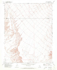
1969 · Rox SE
USGS Topo · 1:24,000
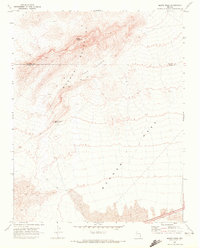
1969 · Moapa Peak
USGS Topo · 1:24,000