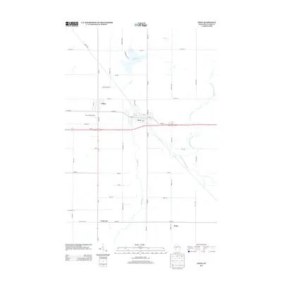
2013 Map of Owen
USGS Topo · Published 2013About this map
The Popple River and its multiple branches create a central hydrographic network through this portion of Clark County, defining the landscape between the twin settlements of Owen and Withee. This 2013 survey illustrates the modern transportation corridor where Wi-29 intersects with Wi-73, a significant junction for regional transit. The map details the proximity of these two towns, separated by the Owen-Withee Airport and agricultural lands bisected by north-south roads like Division St and Fairground Ave.
Find a feature on this map
45 named features on this map. Tap any name to fly to it.
Don’t see what you’re looking for? This feature index may not catch every label — zoom into the map to look around manually.
Map Details
Editions of this 2013 Owen Map
This is the sole edition of this map. No revisions or reprints were ever made.
Other maps of this area

1951 · Lublin
USGS Topo · 1:48,000

1951 · Medford
USGS Topo · 1:48,000

1953 · Abbotsford
USGS Topo · 1:48,000

1953 · Owen
USGS Topo · 1:48,000

1953 · Eau Claire
USGS Topo · 1:250,000

1953 · Rice Lake
USGS Topo · 1:250,000

1958 · Eau Claire
USGS Topo · 1:250,000

1959 · Rice Lake
USGS Topo · 1:250,000

1963 · Abbotsford
USGS Topo · 1:62,500

1963 · Owen
USGS Topo · 1:62,500