
1967 Map of Owens Creek SE
USGS Topo · Published 1969About this map
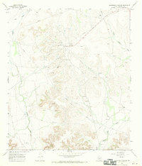
Industrial activity and natural drainages define this portion of Crockett County in the late 1960s. The landscape is dominated by the sprawling infrastructure of the Shannon Oil Field in the northwest and the Todd Oil Field to the east, marked by numerous oil wells and an extensive network of pipelines. These energy developments are etched across a terrain shaped by significant erosion, where the waters of Owens Creek and the long course of Mailbox Draw have carved deep into the limestone plateaus.
Find a feature on this map
8 named features on this map. Tap any name to fly to it.
Don’t see what you’re looking for? This feature index may not catch every label — zoom into the map to look around manually.
Map Details
Editions of this 1967 Owens Creek SE Map
This is the sole edition of this map. No revisions or reprints were ever made.
Other maps of this area

1929 · Sheffield
USGS Topo · 1:125,000

1954 · Sonora
USGS Topo · 1:250,000

1958 · Sonora
USGS Topo · 1:250,000

1967 · Owens Creek NE
USGS Topo · 1:24,000

1967 · Schneeman Draw NW
USGS Topo · 1:24,000

1967 · Pikes Peak
USGS Topo · 1:24,000
1967 · Schneeman Draw SW
USGS Topo · 1:24,000

1967 · Fort Lancaster
USGS Topo · 1:24,000

1967 · Bachelor Hill
USGS Topo · 1:24,000
1967 · Owens Creek SW
USGS Topo · 1:24,000