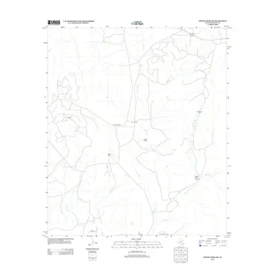
2012 Map of Owens Creek SW
USGS Topo · Published 2012About this map
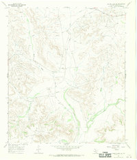
Owens Ranch and Hoover Ranch anchor this landscape in Crockett County, reflecting the deep-rooted ranching tradition of West Texas. This 2012 survey illustrates a terrain defined by complex drainage systems and the local energy economy. The winding path of Live Oak Cr and its namesake Live Oak Spring provide vital water markers in an arid environment shaped by geological features like Knute Draw and Double Tank Canyon. The intersection of agriculture and industry is prominent throughout the quadrangle, with the Olson Oil Field, Simpson Oil Field, and Clara Couch Oil Field indicating significant petroleum development. Navigated by Deer Canyon Rd and Live Oak Rd, the map offers a clear view of how rural infrastructure supports both the cattle and oil industries in this corner of the state.
Find a feature on this map
13 named features on this map. Tap any name to fly to it.
Don’t see what you’re looking for? This feature index may not catch every label — zoom into the map to look around manually.
Map Details
Editions of this 2012 Owens Creek SW Map
This is the sole edition of this map. No revisions or reprints were ever made.
Other maps of this area
1929 · Sheffield
USGS Topo · 1:125,000

1954 · Sonora
USGS Topo · 1:250,000

1958 · Sonora
USGS Topo · 1:250,000
1967 · Owens Creek SE
USGS Topo · 1:24,000
1967 · Owens Creek NE
USGS Topo · 1:24,000
1967 · Twelvemile Camp
USGS Topo · 1:24,000
1967 · Deer Canyon
USGS Topo · 1:24,000
1967 · Fort Lancaster
USGS Topo · 1:24,000
1967 · Bachelor Hill
USGS Topo · 1:24,000
1967 · Owens Creek SW
USGS Topo · 1:24,000