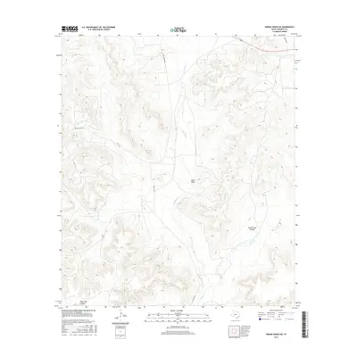
2016 Map of Owens Creek SW
USGS Topo · Published 2016About this map
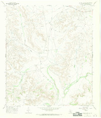
Live Oak Spring provides a vital water source in this arid stretch of Crockett County, where the landscape is defined by a network of deep drainage features and canyon systems. In 2016, this territory remained characterized by sparse ranching infrastructure, connected by rugged routes like Deer Canyon Rd and Live Oak Rd. The intricate topography includes prominent depressions such as Knute Draw and the distinctively named Musk Hog Canyon to the southwest. To the east, the terrain descends toward Double Tank Canyon and the seasonal waters of Owens Cr. The map illustrates the specialized water management required in this region, where Live Oak Cr serves as a primary geographic axis for local movement and land division.
Find a feature on this map
9 named features on this map. Tap any name to fly to it.
Don’t see what you’re looking for? This feature index may not catch every label — zoom into the map to look around manually.
Map Details
Editions of this 2016 Owens Creek SW Map
This is the sole edition of this map. No revisions or reprints were ever made.
Other maps of this area
1929 · Sheffield
USGS Topo · 1:125,000

1954 · Sonora
USGS Topo · 1:250,000

1958 · Sonora
USGS Topo · 1:250,000
1967 · Owens Creek SE
USGS Topo · 1:24,000
1967 · Owens Creek NE
USGS Topo · 1:24,000
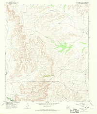
1967 · Twelvemile Camp
USGS Topo · 1:24,000
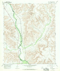
1967 · Deer Canyon
USGS Topo · 1:24,000
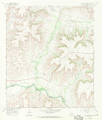
1967 · Fort Lancaster
USGS Topo · 1:24,000
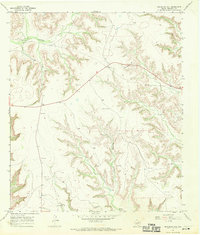
1967 · Bachelor Hill
USGS Topo · 1:24,000
1967 · Owens Creek SW
USGS Topo · 1:24,000