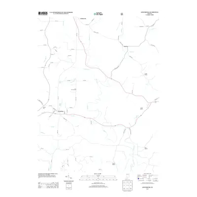
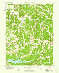
2013 Map of Owensburg
USGS Topo · Published 2013About this map
Owensburg and the surrounding Greene County hills are defined by a network of winding creek beds and narrow hollows in this 2013 survey. The landscape is dotted with small settlements like Hobbieville and the uniquely named Popcorn, where agricultural land follows the paths of Popcorn Cr and Indian Cr. The terrain is deeply textured, marked by features such as Tunnel Hill and numerous named valleys including Linden Hollow and Boone Hollow.
Find a feature on this map
71 named features on this map. Tap any name to fly to it.
Don’t see what you’re looking for? This feature index may not catch every label — zoom into the map to look around manually.
Map Details
Editions of this 2013 Owensburg Map
This is the sole edition of this map. No revisions or reprints were ever made.
Other maps of this area
1908 · Bloomington
USGS Topo · 1:48,000
1908 · Bloomfield
USGS Topo · 1:62,500
1910 · Bloomington
USGS Topo · 1:62,500
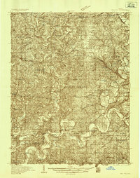
1935 · Oolitic
USGS Topo · 1:48,000
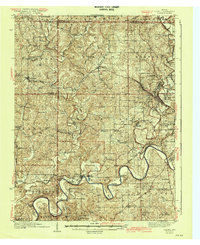
1942 · Oolitic
USGS Topo · 1:62,500

1953 · Indianapolis
USGS Topo · 1:250,000

1956 · Indianapolis
USGS Topo · 1:250,000
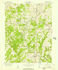
1956 · Clear Creek
USGS Topo · 1:24,000
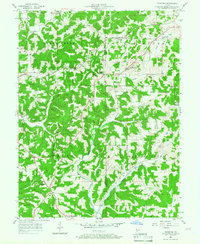
1956 · Stanford
USGS Topo · 1:24,000
1956 · Koleen
USGS Topo · 1:24,000