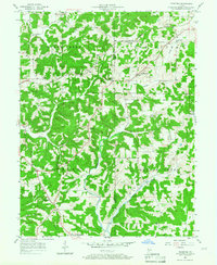
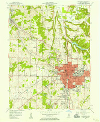
1956 Map of Stanford
USGS Topo · Published 1958About this map
The ridge and valley landscape west of Bloomington is defined by the winding course of the Illinois Central railroad as it cuts through the wooded hills of Van Buren and Indian Creek townships. This mid-century survey captures a network of rural communities and upland farms during a period of relative stability before modern suburban expansion. Small settlements like Stanford and Cincinnati serve as focal points for the surrounding countryside, which is dotted with numerous country churches and family burial grounds such as Harmony Cem and the Edwards Cem. A prominent Lookout Tower stands watch over the timbered slopes near the southern boundary. The map illustrates how local life was anchored by institutions like the Sanbourn Sch and Union Ch, while the drainage basins of Richland Creek and Beech Creek dictated the placement of roads and homesteads across the Greene and Monroe County line.
Find a feature on this map
32 named features on this map. Tap any name to fly to it.
Don’t see what you’re looking for? This feature index may not catch every label — zoom into the map to look around manually.
Map Details
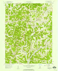
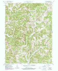
Editions of this 1956 Stanford Map
3 editions found
Other maps of this area

1908 · Bloomington
USGS Topo · 1:48,000

1908 · Bloomfield
USGS Topo · 1:62,500

1910 · Bloomington
USGS Topo · 1:62,500

1935 · Oolitic
USGS Topo · 1:48,000

1942 · Oolitic
USGS Topo · 1:62,500

1953 · Indianapolis
USGS Topo · 1:250,000

1956 · Indianapolis
USGS Topo · 1:250,000
1956 · Clear Creek
USGS Topo · 1:24,000

1956 · Freedom
USGS Topo · 1:24,000
1956 · Bloomington
USGS Topo · 1:24,000