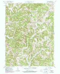
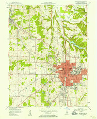
1956 Map of Stanford
USGS Topo · Published 1990About this map
Stanford and Cincinnati anchor this mid-century look at the ridge-and-valley landscape along the Greene Co Monroe Co line. The area is defined by its deep hollows, including Lawrence Hollow and Cully Hollow, where small settlements and rural institutions have persisted for generations. A network of country churches like Harmony Ch, Union Ch, and Greene Co Chapel speaks to the established social fabric of these southern Indiana townships.
Find a feature on this map
28 named features on this map. Tap any name to fly to it.
Don’t see what you’re looking for? This feature index may not catch every label — zoom into the map to look around manually.
Map Details
Editions of this 1956 Stanford Map
3 editions found
Other maps of this area

1908 · Bloomington
USGS Topo · 1:48,000

1908 · Bloomfield
USGS Topo · 1:62,500

1910 · Bloomington
USGS Topo · 1:62,500

1935 · Oolitic
USGS Topo · 1:48,000

1942 · Oolitic
USGS Topo · 1:62,500

1953 · Indianapolis
USGS Topo · 1:250,000

1956 · Indianapolis
USGS Topo · 1:250,000
1956 · Clear Creek
USGS Topo · 1:24,000

1956 · Freedom
USGS Topo · 1:24,000
1956 · Bloomington
USGS Topo · 1:24,000