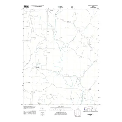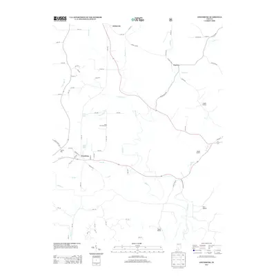
2022 Map of Owensburg
USGS Topo · Published 2022About this map
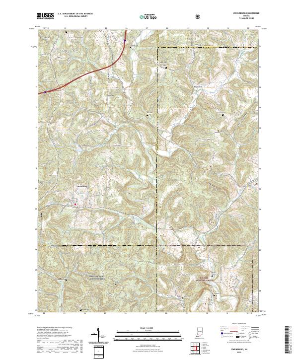
Owensburg serves as a primary settlement within this survey of southern Greene County, where the landscape transitions into the wooded tracts of the Hoosier National Forest. The geography is defined by deep hollows and winding watercourses like Indian Creek and Popcorn Cr, which feeds the curiously named community of Popcorn. The area is notable for its high concentration of family burial grounds, including the Beyers and Rainbolt Cem, Flynn Cem, and Dishman Cem, offering significant value for genealogical research in this part of Indiana. To the south, the boundary of the Naval Support Activity Crane indicates the federal military presence that has shaped land use in the region. Industrial history is represented by Putt Quarry Dr, while the local topography is intricately mapped through features like Linden Hollow and Speed Hollow.
Find a feature on this map
114 named features on this map. Tap any name to fly to it.
Don’t see what you’re looking for? This feature index may not catch every label — zoom into the map to look around manually.
Map Details
Editions of this 2022 Owensburg Map
This is the sole edition of this map. No revisions or reprints were ever made.
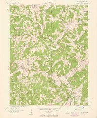
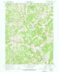
Historical Maps of Owensburg Through Time
7 maps found