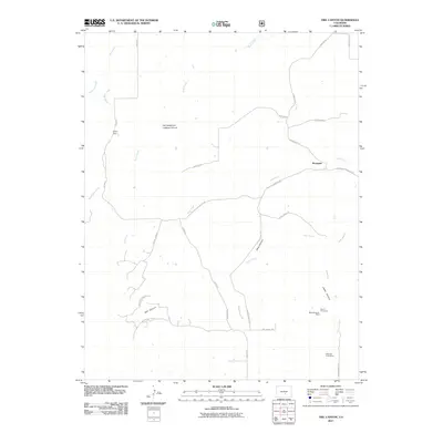
2011 Map of Owl Canyon
USGS Topo · Published 2011About this map
Mining operations and remote canyon geography define this 2011 survey of the Pueblo County landscape. Small-scale mineral exploration is concentrated in the southeast, evidenced by the Moore Property Mine, Galbreth Creek Mine, and several Moore Prospects. The settlement of Bronquist serves as a central reference point among a network of rural routes such as Siloam Rd and Red Creek Springs Rd.
Find a feature on this map
32 named features on this map. Tap any name to fly to it.
Don’t see what you’re looking for? This feature index may not catch every label — zoom into the map to look around manually.
Map Details
Editions of this 2011 Owl Canyon Map
This is the sole edition of this map. No revisions or reprints were ever made.
Other maps of this area
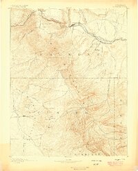
1889 · Canon City
USGS Topo · 1:125,000
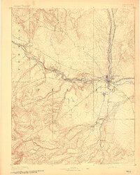
1891 · Pueblo
USGS Topo · 1:125,000
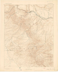
1892 · Canon City
USGS Topo · 1:125,000
1894 · Pueblo
USGS Topo · 1:125,000
1896 · Pueblo
USGS Topo · 1:125,000
1897 · Pueblo
USGS Topo · 1:125,000
1954 · Pueblo
USGS Topo · 1:250,000
1957 · Pueblo
USGS Topo · 1:250,000
1958 · Pueblo
USGS Topo · 1:250,000
1959 · Florence SE
USGS Topo · 1:24,000