
1972 Map of Owyhee Butte
USGS Topo · Published 1975About this map
The Owyhee Canyon dominates this 1970s landscape, where the Owyhee River carves a deep, winding path through Malheur County. The river’s course is marked by several stretches of rapids, emphasizing the unmanaged flow of the water in this high desert environment. Away from the canyon rim, the terrain is characterized by volcanic features and man-made water management. A prominent Lava Field and the volcanic peak of Saddle Butte sit to the west, while the eastern plateau is dotted with essential ranching infrastructure.
Find a feature on this map
23 named features on this map. Tap any name to fly to it.
Don’t see what you’re looking for? This feature index may not catch every label — zoom into the map to look around manually.
Map Details
Editions of this 1972 Owyhee Butte Map
This is the sole edition of this map. No revisions or reprints were ever made.
Other maps of this area

1955 · Jordan Valley
USGS Topo · 1:250,000

1955 · Boise
USGS Topo · 1:250,000

1957 · Jordan Valley
USGS Topo · 1:250,000

1958 · Boise
USGS Topo · 1:250,000

1958 · Jordan Valley
USGS Topo · 1:250,000

1962 · Boise
USGS Topo · 1:250,000
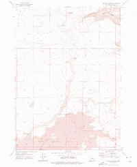
1972 · Wrangle Butte
USGS Topo · 1:24,000
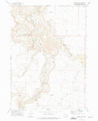
1972 · Lambert Rocks
USGS Topo · 1:24,000

1972 · Rome
USGS Topo · 1:24,000
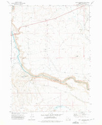
1972 · Scott Reservoir
USGS Topo · 1:24,000