
1972 Map of Rome
USGS Topo · Published 1975About this map
The high desert community of Rome sits at the intersection of geology and critical water management near the Owyhee River. This 1970s landscape is defined by the stark verticality of the Rome Cliffs and the expansive McCutcheon Flat, where the irrigation of the arid terrain is evident through the Happy Valley Ditch and various flumes. The map reveals a land utilized for both ranching and transit, featuring the Crooked Creek Ranch and a local Landing Strip.
Find a feature on this map
23 named features on this map. Tap any name to fly to it.
Don’t see what you’re looking for? This feature index may not catch every label — zoom into the map to look around manually.
Map Details
Editions of this 1972 Rome Map
This is the sole edition of this map. No revisions or reprints were ever made.
Other maps of this area

1955 · Jordan Valley
USGS Topo · 1:250,000

1957 · Jordan Valley
USGS Topo · 1:250,000

1958 · Jordan Valley
USGS Topo · 1:250,000

1972 · Owyhee Butte
USGS Topo · 1:24,000
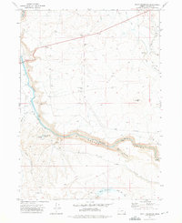
1972 · Scott Reservoir
USGS Topo · 1:24,000
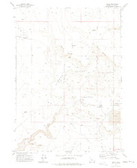
1972 · Arock
USGS Topo · 1:24,000
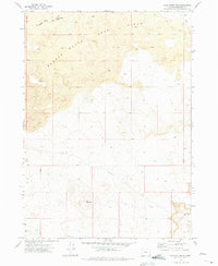
1972 · Iron Mountain
USGS Topo · 1:24,000
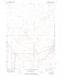
1972 · Burns Junction
USGS Topo · 1:24,000

1979 · Rockhouse Reservoir
USGS Topo · 1:24,000

1979 · Anderson Reservoir
USGS Topo · 1:24,000