
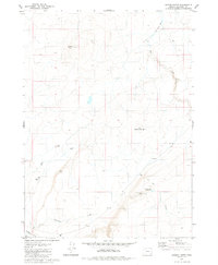
1979 Map of Rockhouse Reservoir
USGS Topo · Published 1980About this map
Indian Fort Creek and its many seasonal tributaries dominate this high-desert portion of Malheur County, where water management defines the human footprint. Water infrastructure, though sparse, is critical to the utility of the land, as seen with Rockhouse Reservoir and its associated Aqueduct. These features, along with Hardin Spring and Blevens Reservoir, suggest a landscape utilized for livestock or rangeland purposes in the late twentieth century.
Find a feature on this map
12 named features on this map. Tap any name to fly to it.
Don’t see what you’re looking for? This feature index may not catch every label — zoom into the map to look around manually.
Map Details
Editions of this 1979 Rockhouse Reservoir Map
This is the sole edition of this map. No revisions or reprints were ever made.
Other maps of this area

1955 · Jordan Valley
USGS Topo · 1:250,000

1957 · Jordan Valley
USGS Topo · 1:250,000

1958 · Jordan Valley
USGS Topo · 1:250,000
1969 · Dry Creek Rim
USGS Topo · 1:24,000

1972 · Rome
USGS Topo · 1:24,000
1972 · Scott Reservoir
USGS Topo · 1:24,000

1979 · Bowden Ranch
USGS Topo · 1:24,000
1979 · The Basin
USGS Topo · 1:24,000
1980 · Caviatta Ridge
USGS Topo · 1:24,000
1980 · Jackies Butte
USGS Topo · 1:24,000